Photo excursion - New Zealand: lakes, rivers, mountains... (122 photos) (part 1)
Разрешение картинок от 3888x2592px до 3888x2592px
Basic Geographical Information
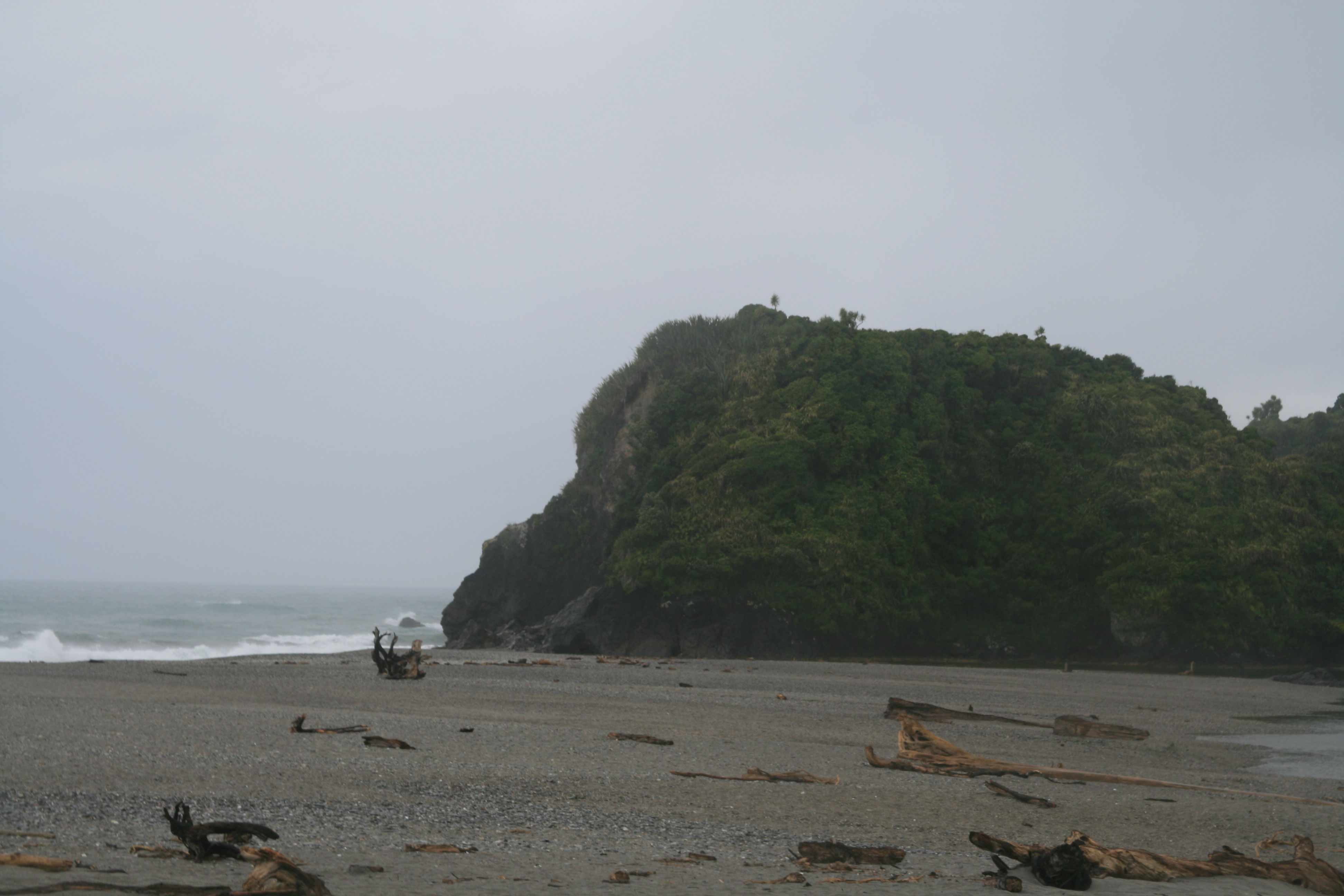
New Zealand is located in the southwest Pacific Ocean in the Polynesian triangle in the central region of the water hemisphere. The main territory of the country consists of two islands, which have corresponding names - Yuzhny Island and Severny Island. The western coast of the islands is washed by the Tasman Sea, the remaining coasts of the country are washed by the Pacific Ocean. The South and North Islands are separated by Cook Strait. In addition to the two main islands, New Zealand owns about 700 islands of much smaller area, most of which are uninhabited. The largest of them are Stewart Island, the Antipodes Islands, Auckland Island, the Bounty Islands, Campbell Islands, the Chatham Archipelago and Kermadec Island. The total area of the country is 268,680 km². This makes it slightly smaller in size than Italy or Japan, but slightly larger than the UK. New Zealand's coastline is 15,134 kilometers long.
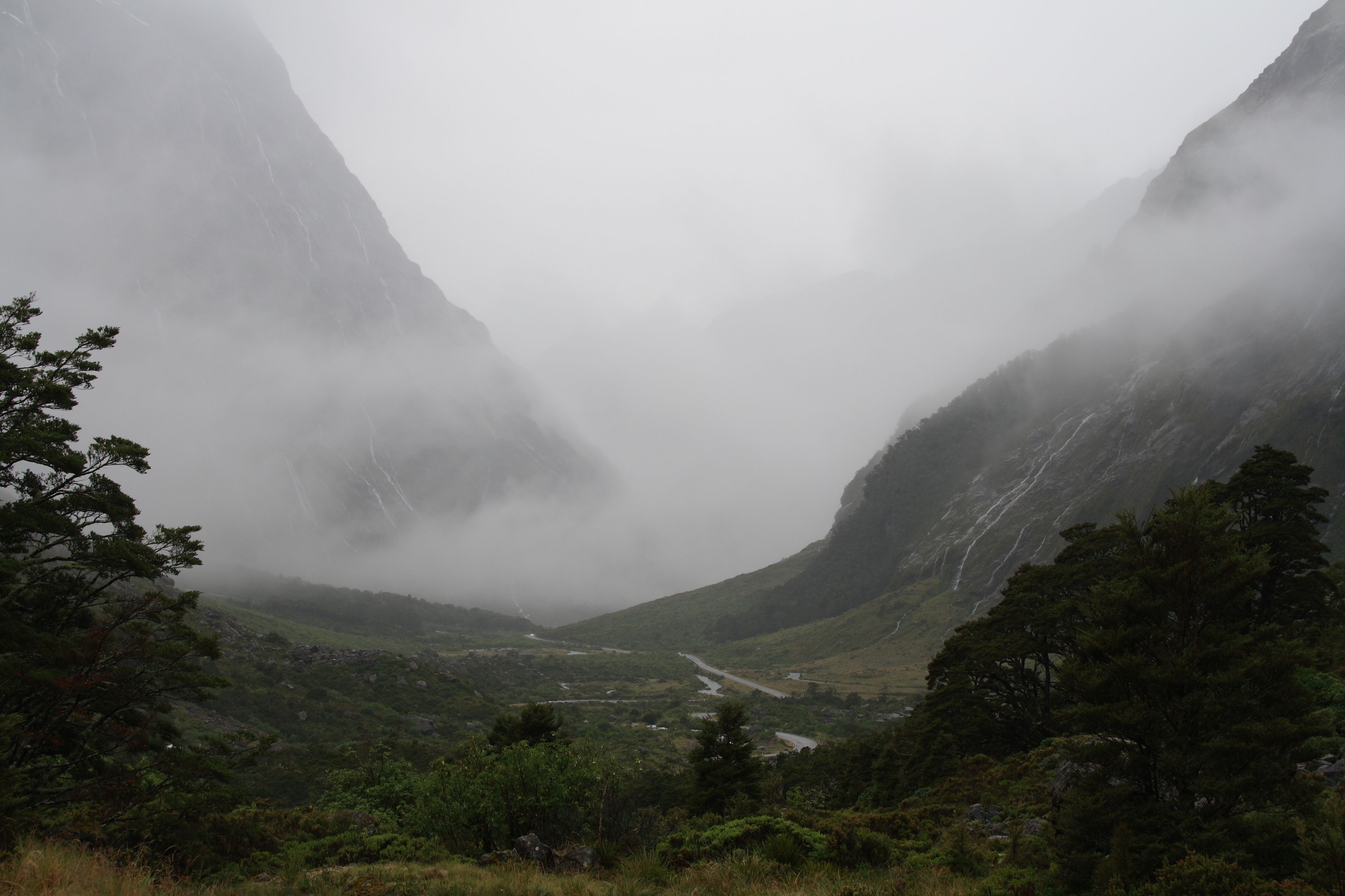
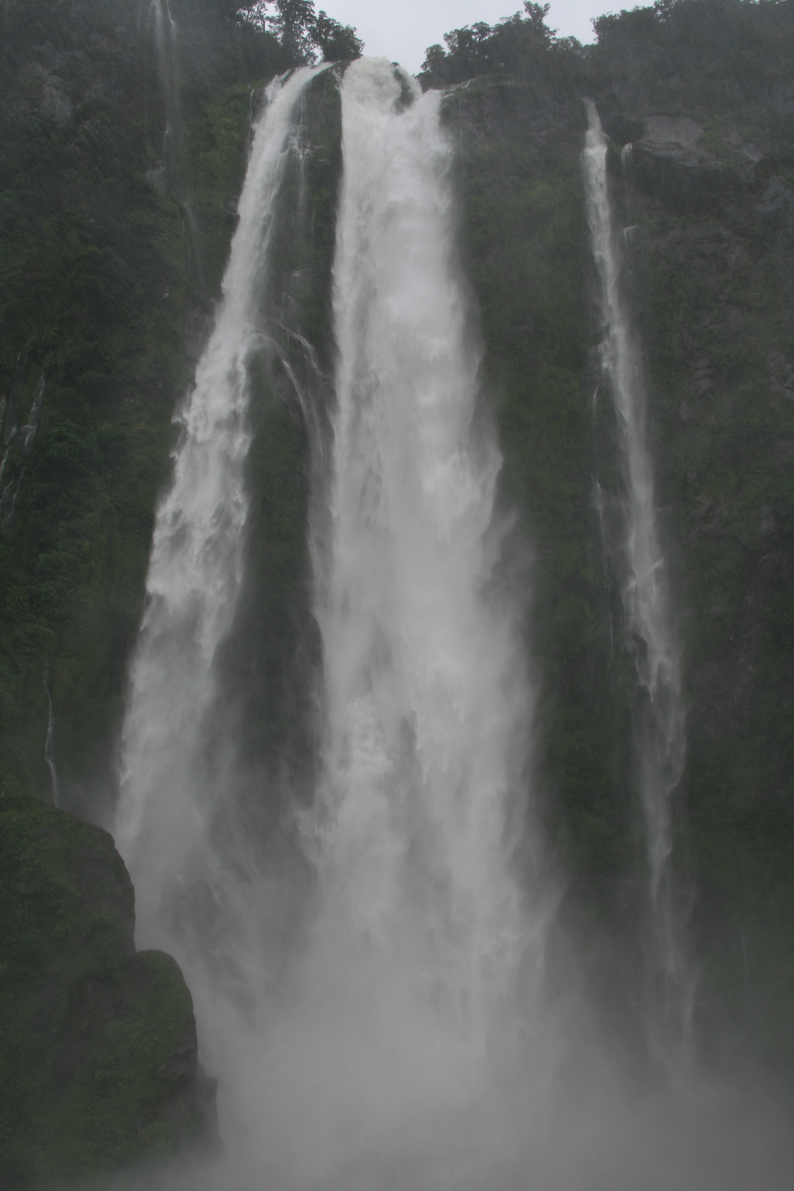
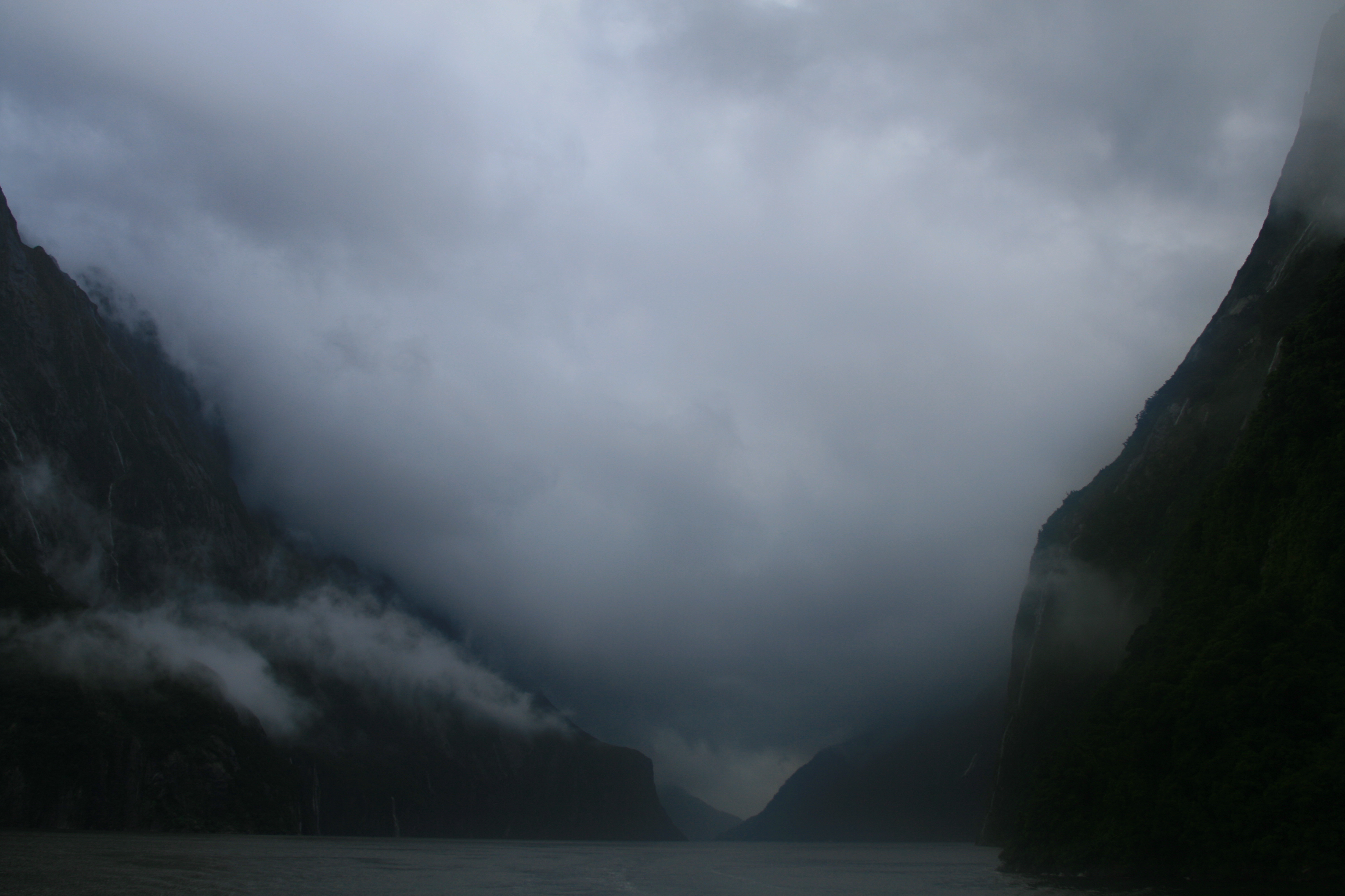
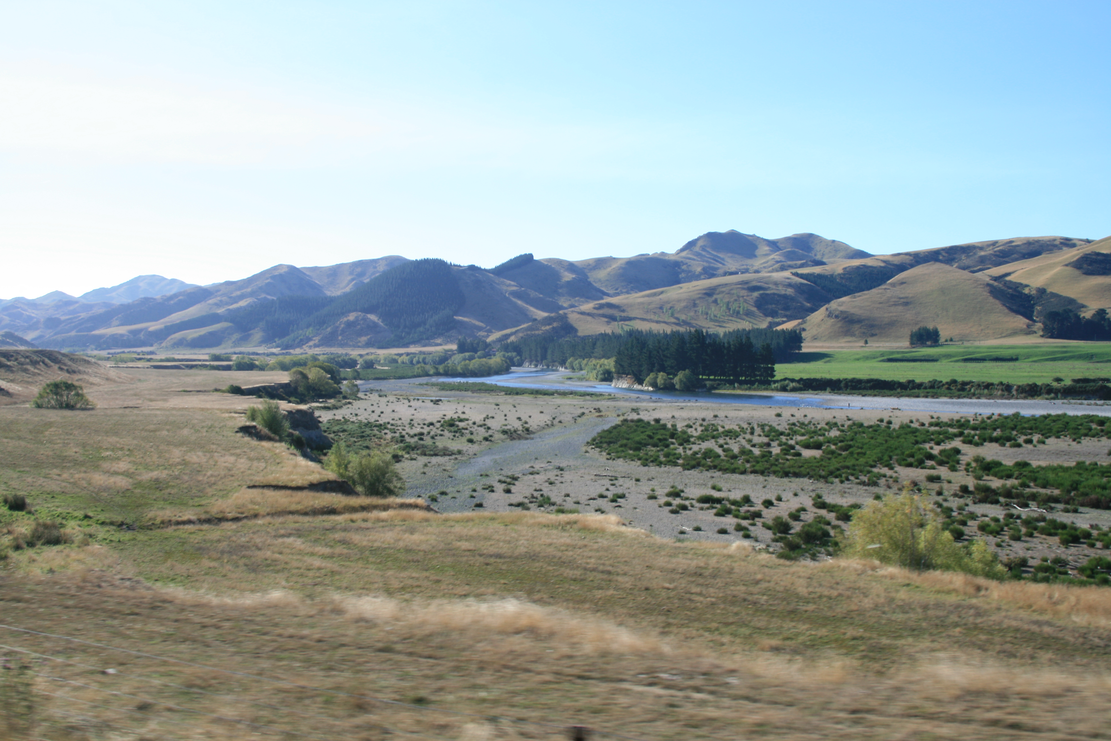
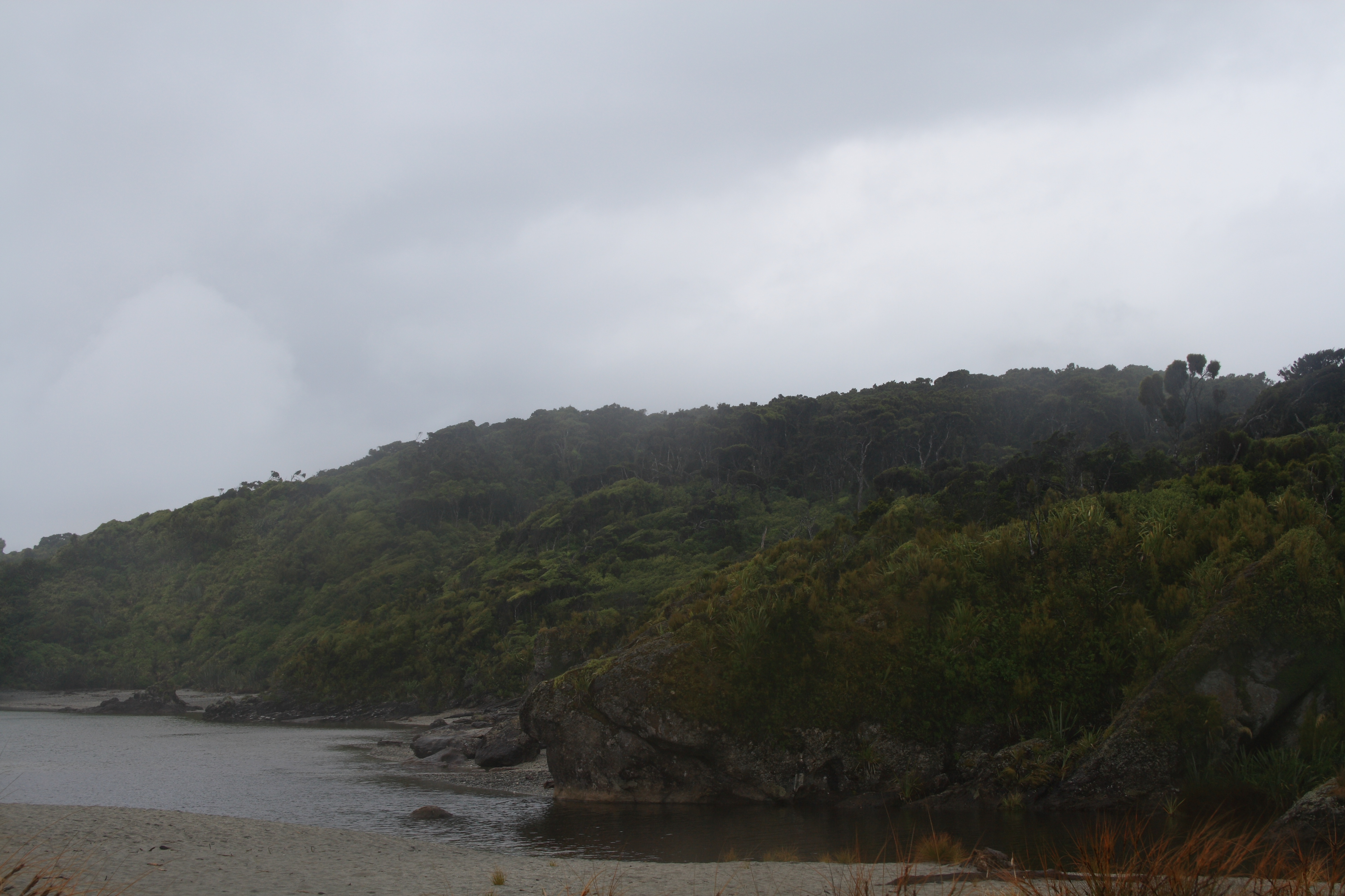
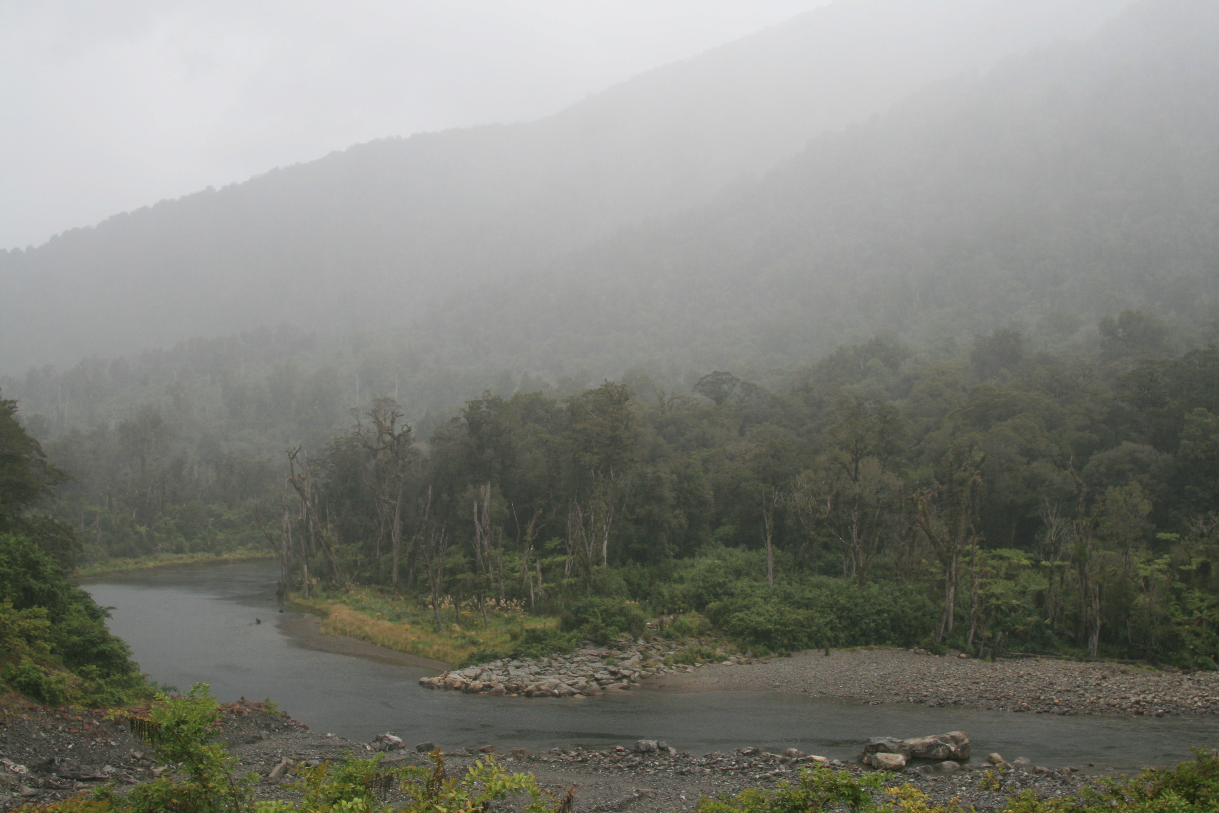
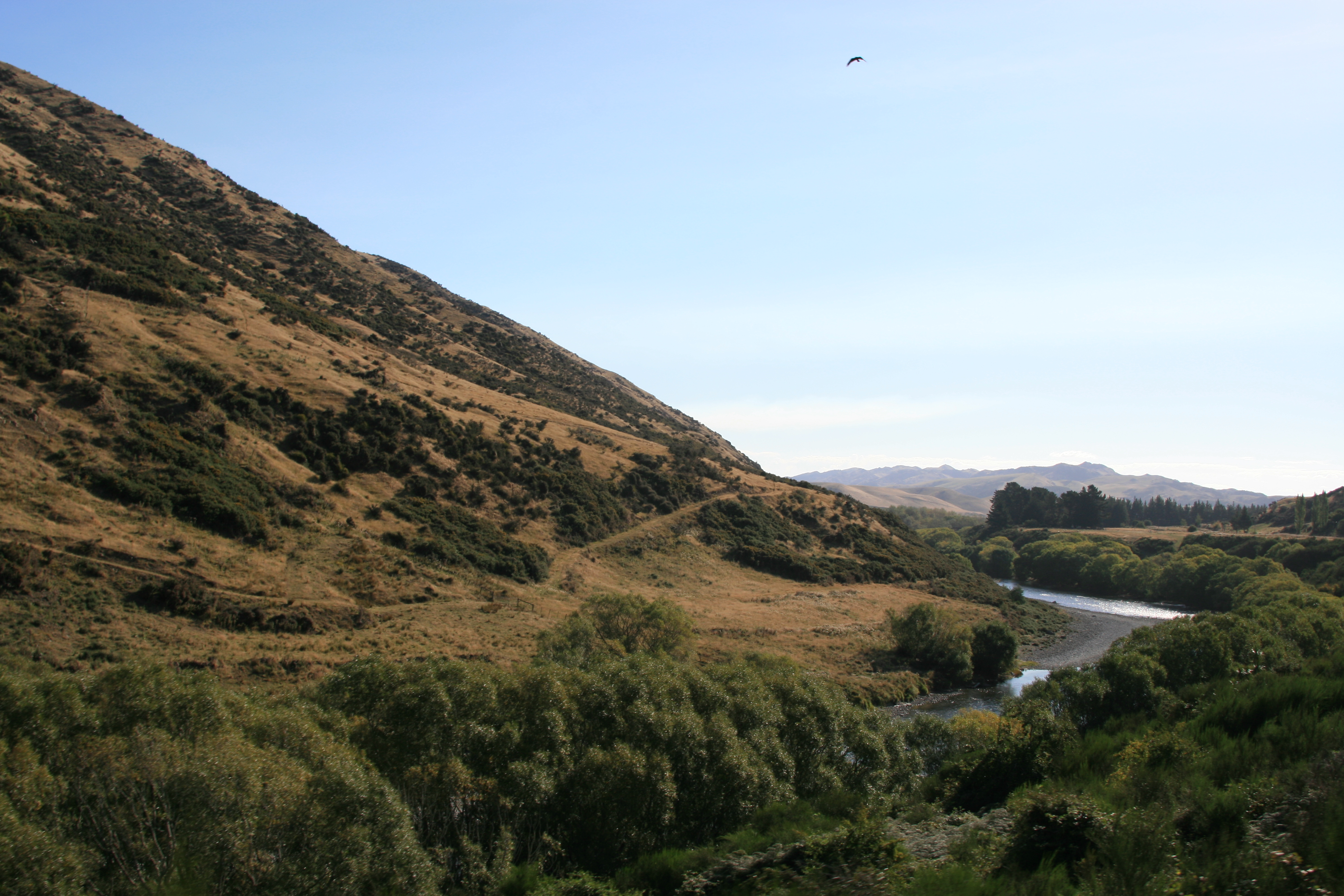
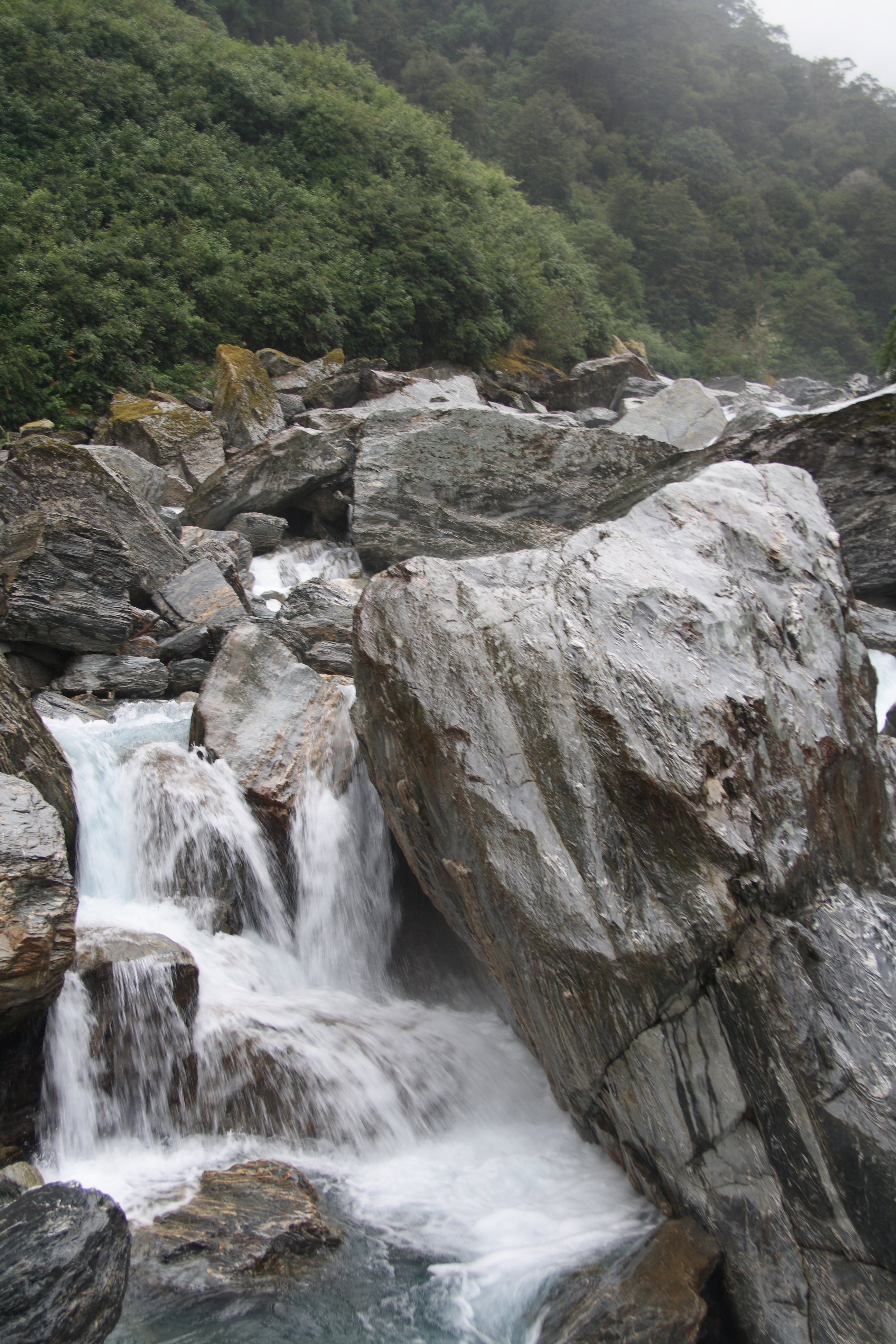
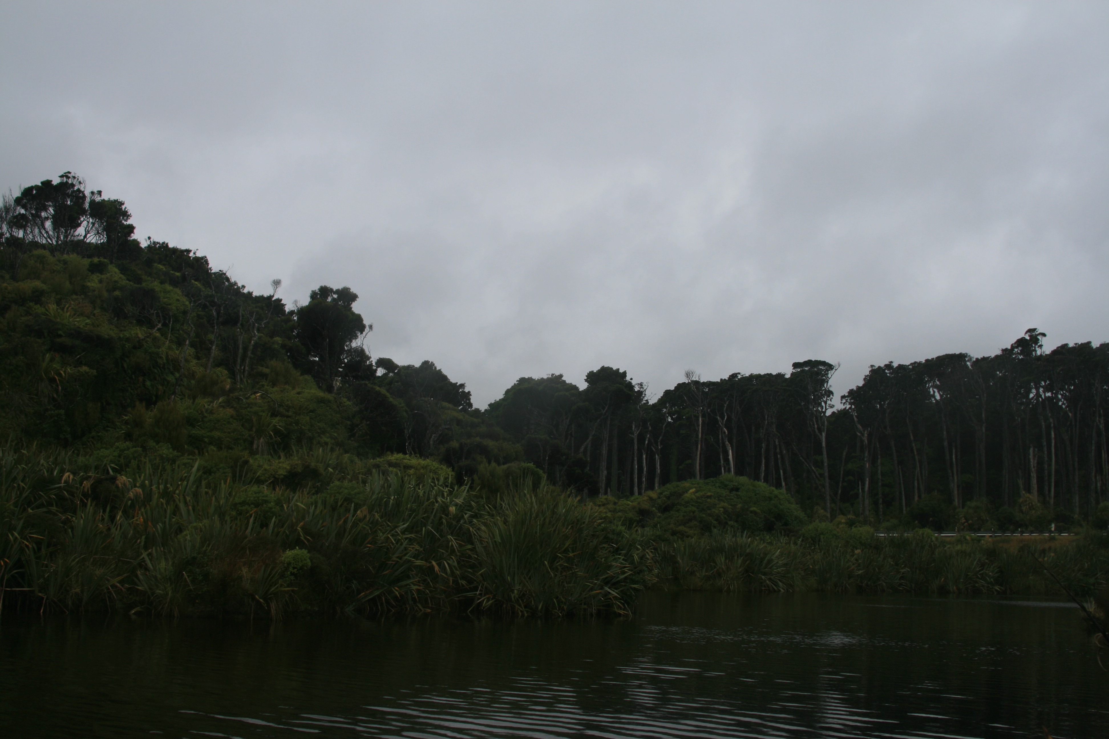
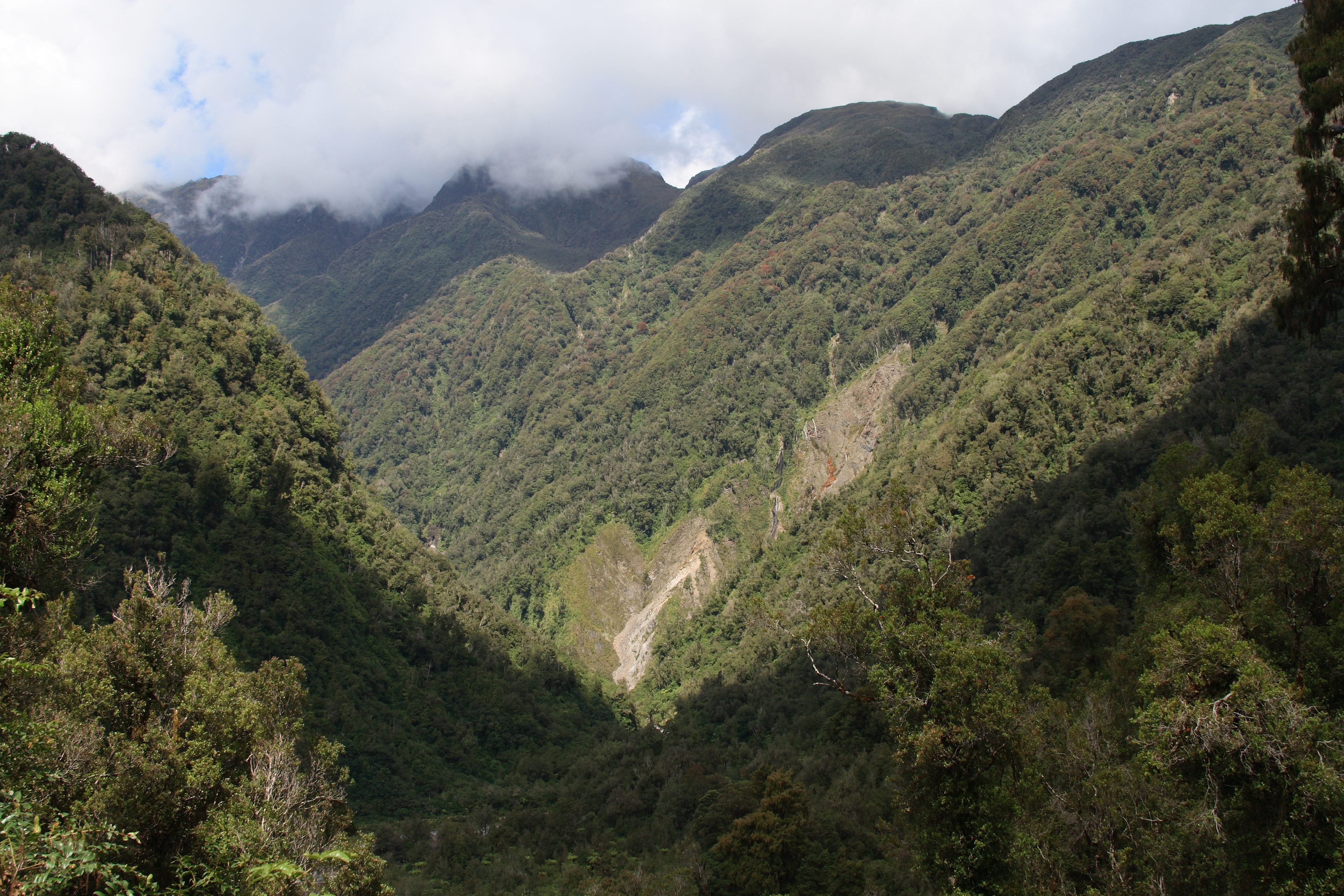
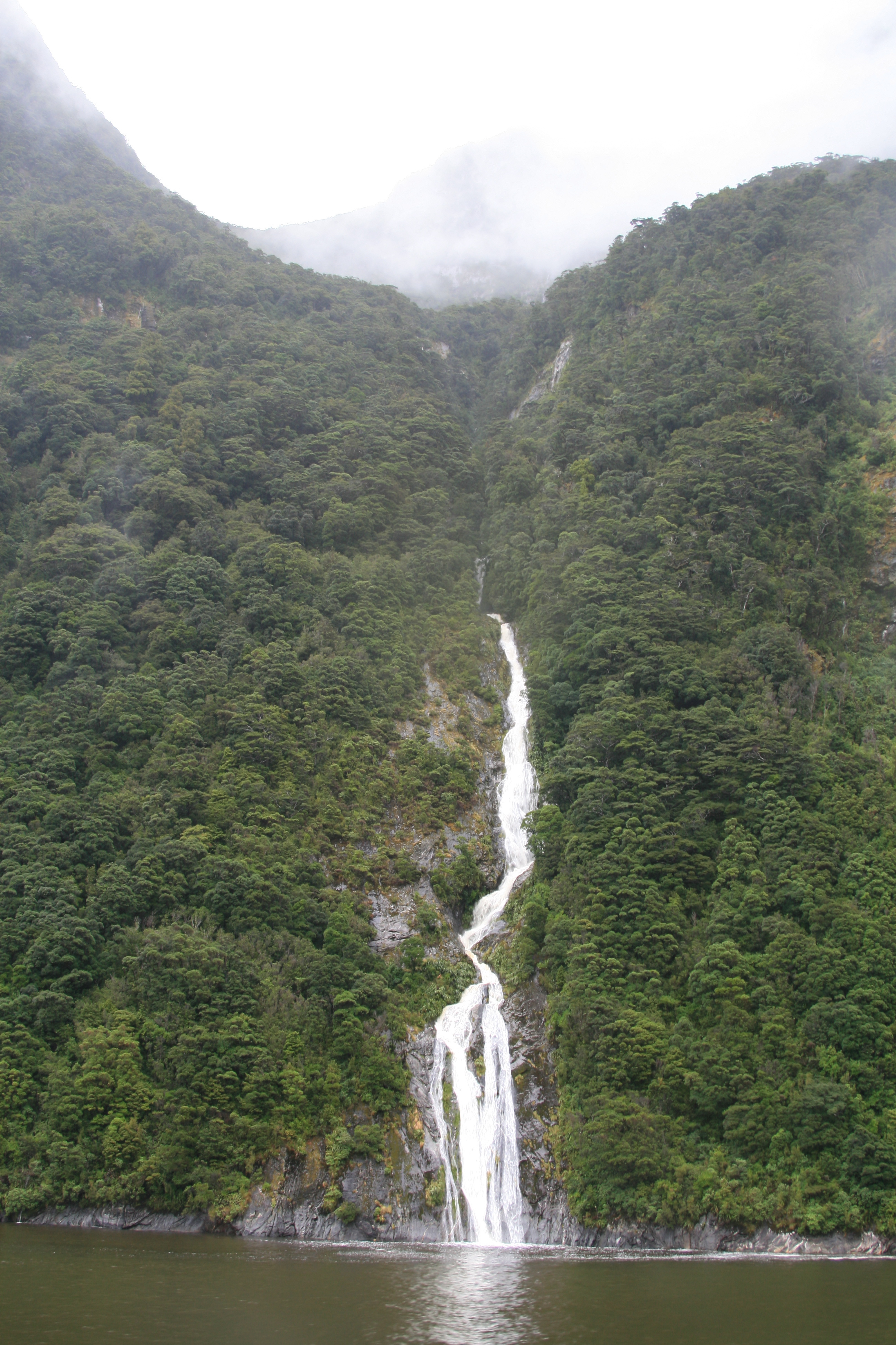
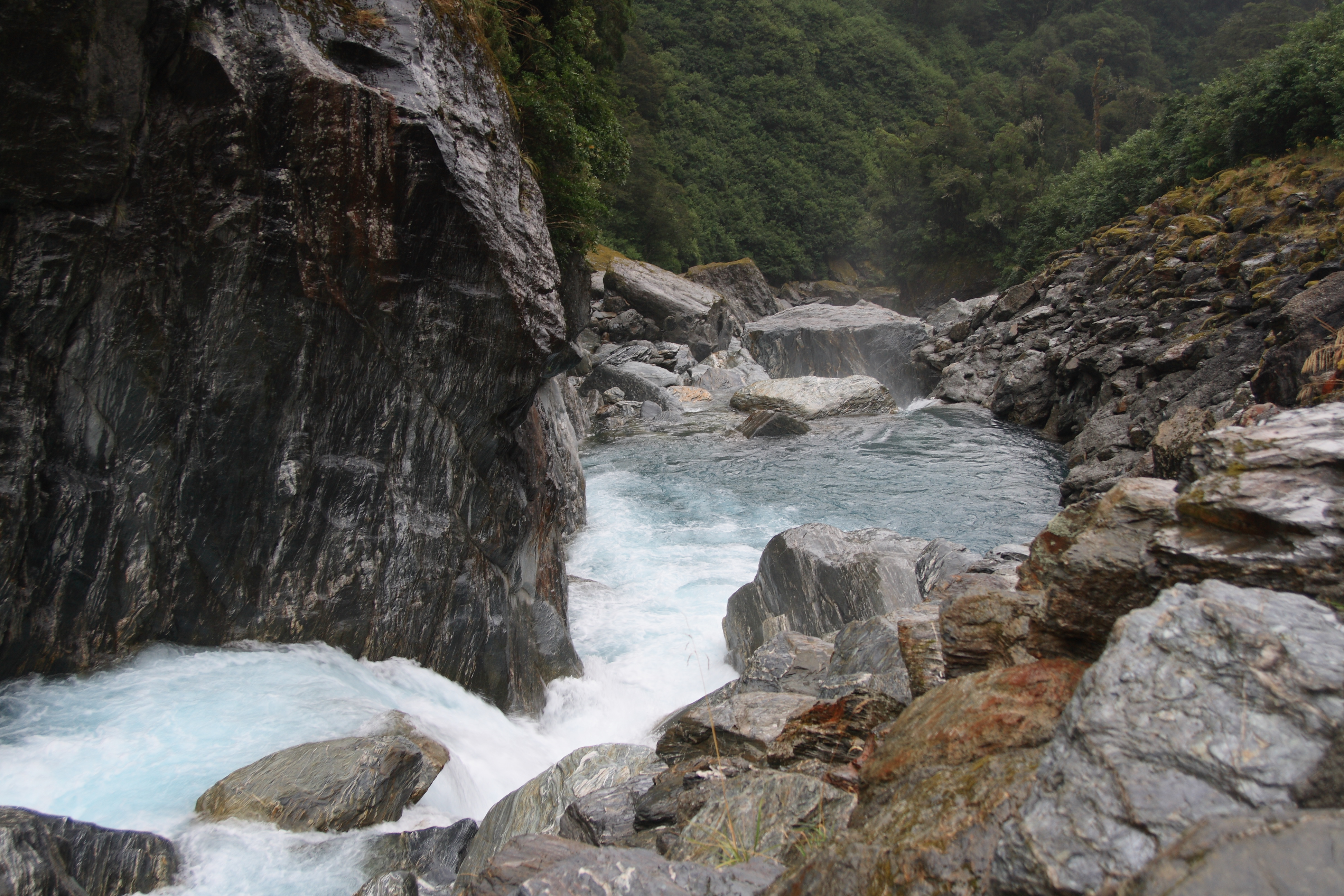
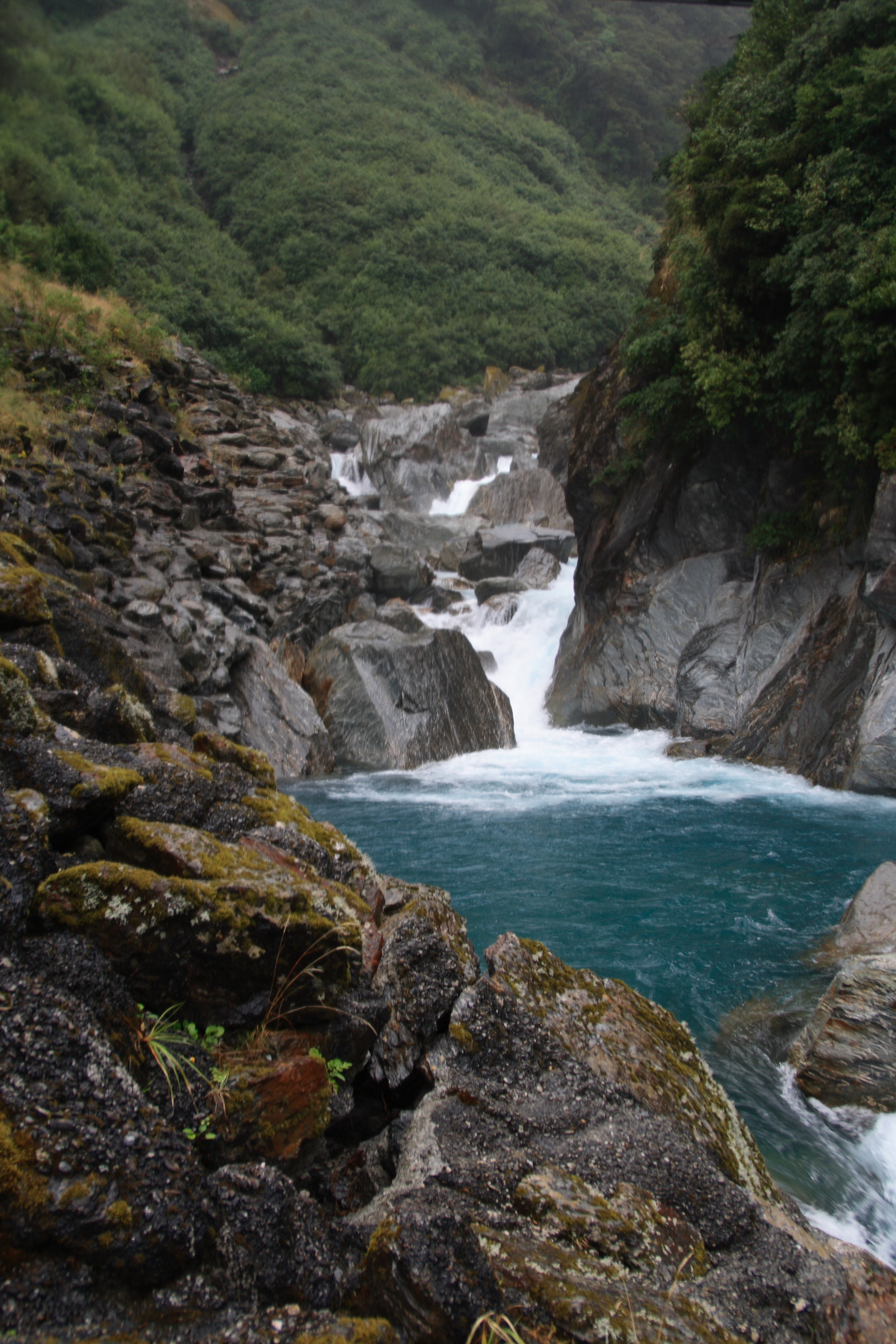
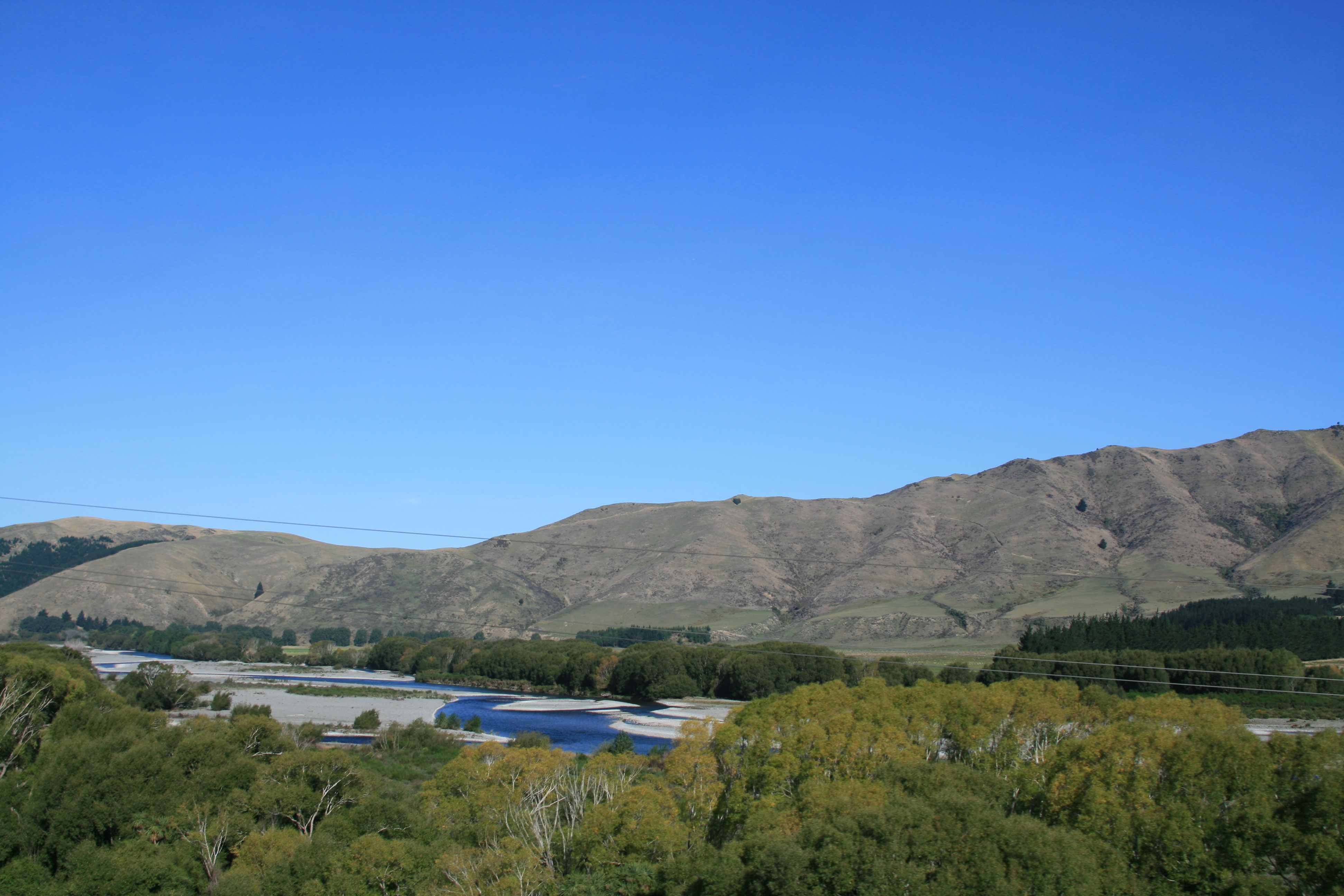
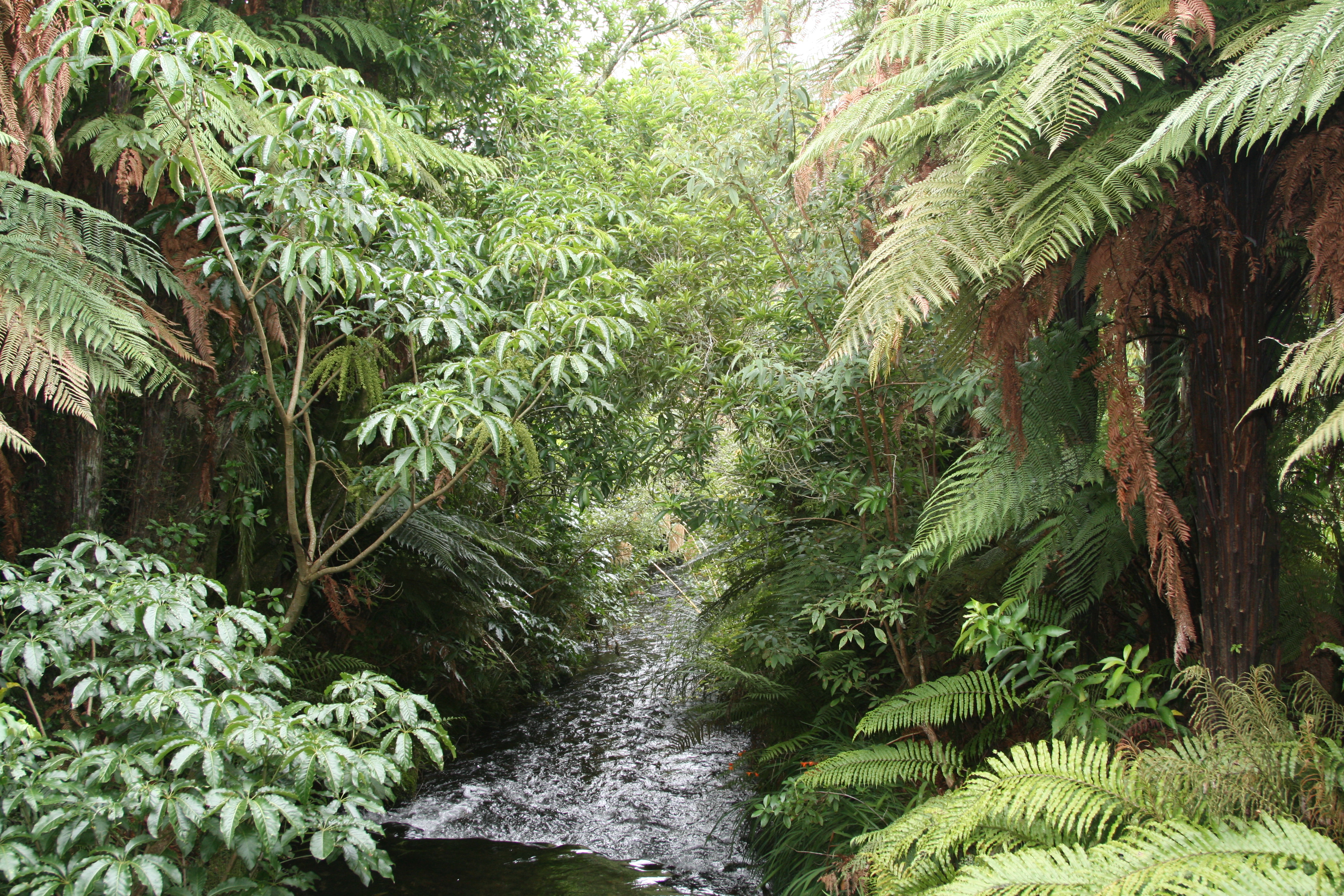
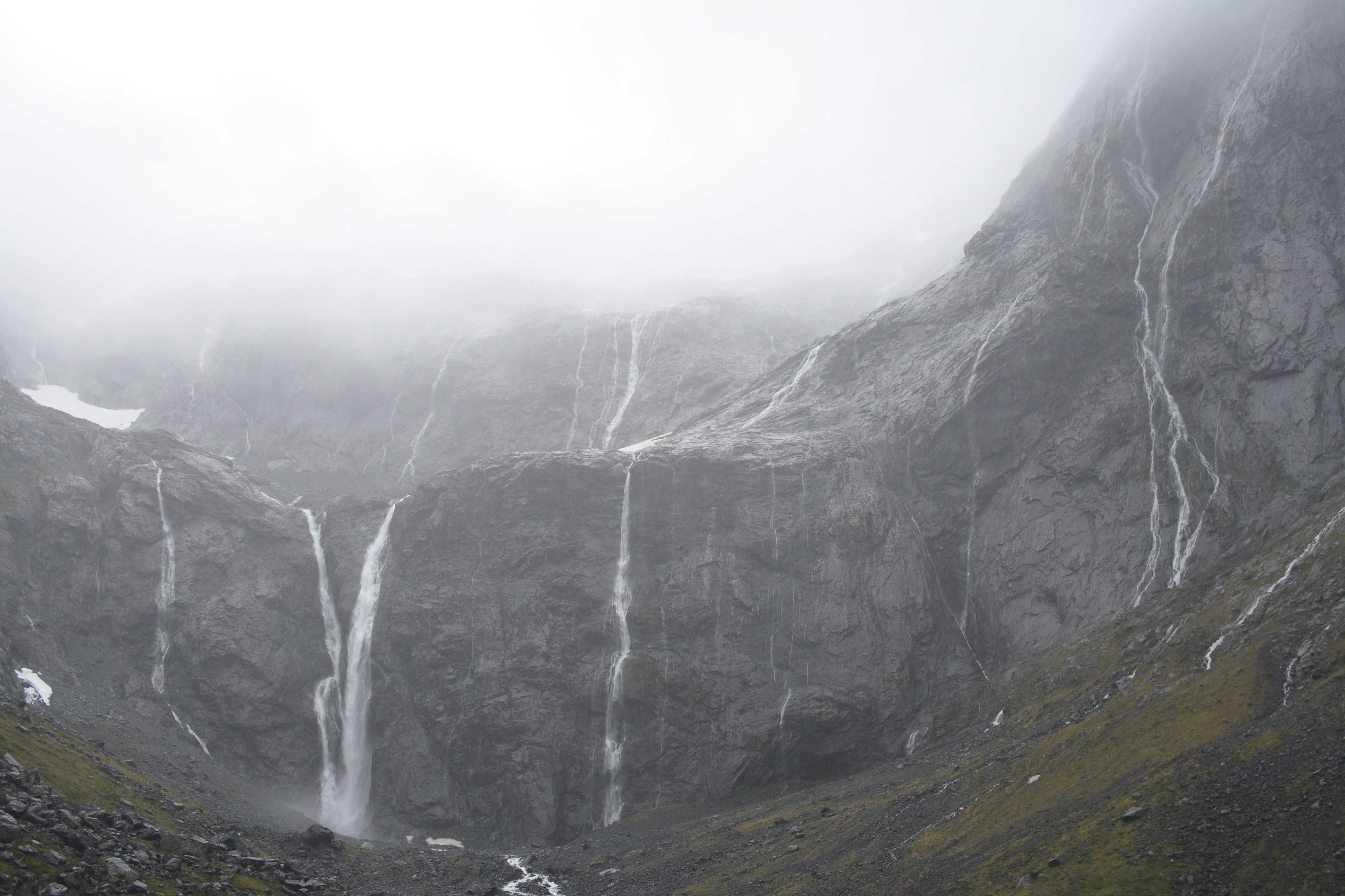
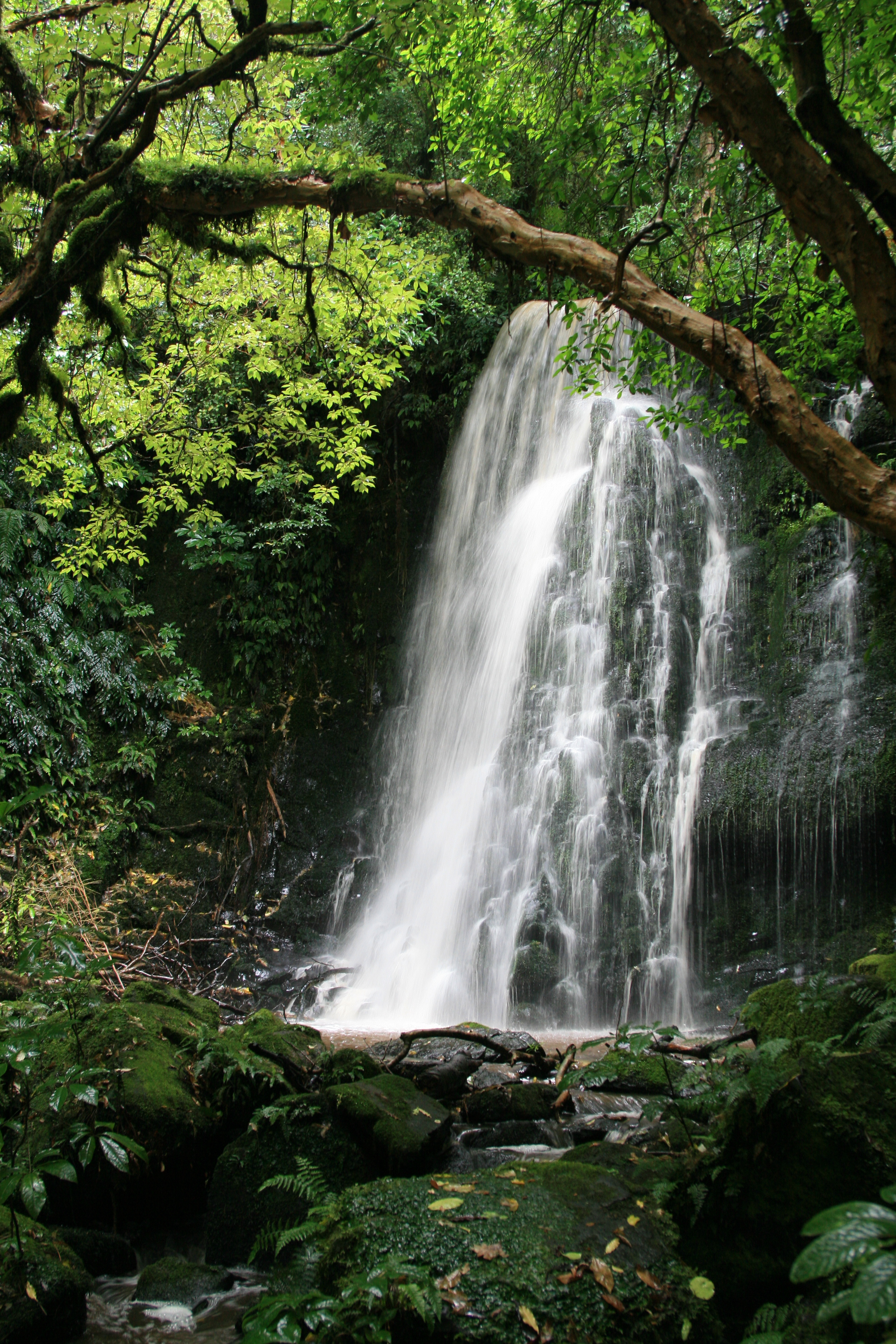
The South Island is New Zealand's largest island and the 12th largest island on the planet, with an area of 151,215 km². The island is home to approximately one-fourth of the country's population. Along the island from north to south stretches the ridge of folded mountains of the Southern Alps, the highest peak of which is Mount Cook (43°35′44.69″ S 170°08′27.75″ E (G) (O), another official name - Aoraki) with a height of 3754 meters. In addition to it, there are 18 more peaks on the South Island with a height of more than 3000 m. The eastern part of the island is flatter and is almost completely occupied by agricultural land. The western coast of the island is much less densely populated. Significant tracts of practically untouched nature with virgin flora and fauna have been preserved here. The western part is also famous for its numerous national parks, fjords and glaciers descending from the slopes of the Southern Alps directly into the Tasman Sea. The island's largest lake is Te Anau (the second largest lake in New Zealand).
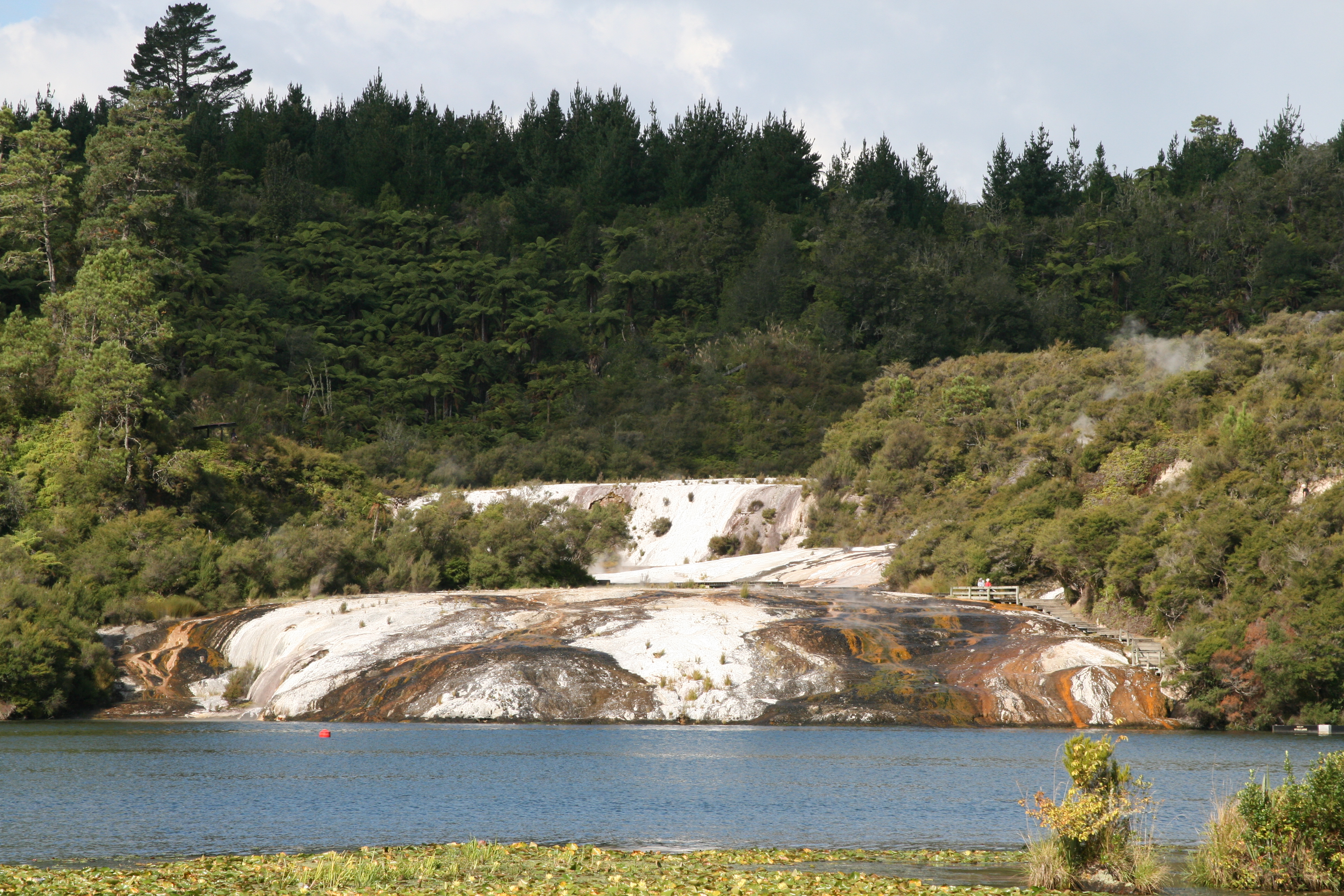
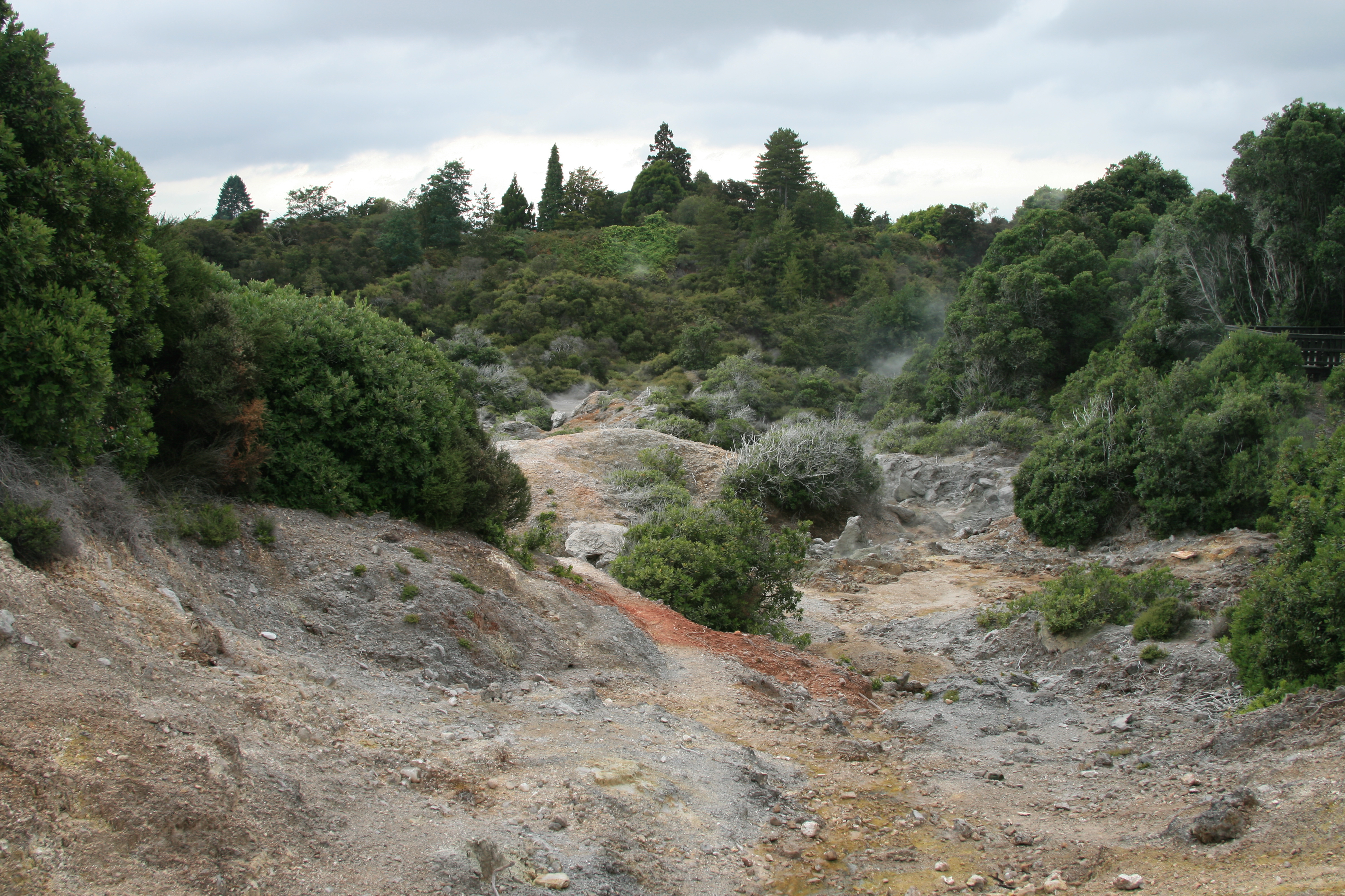
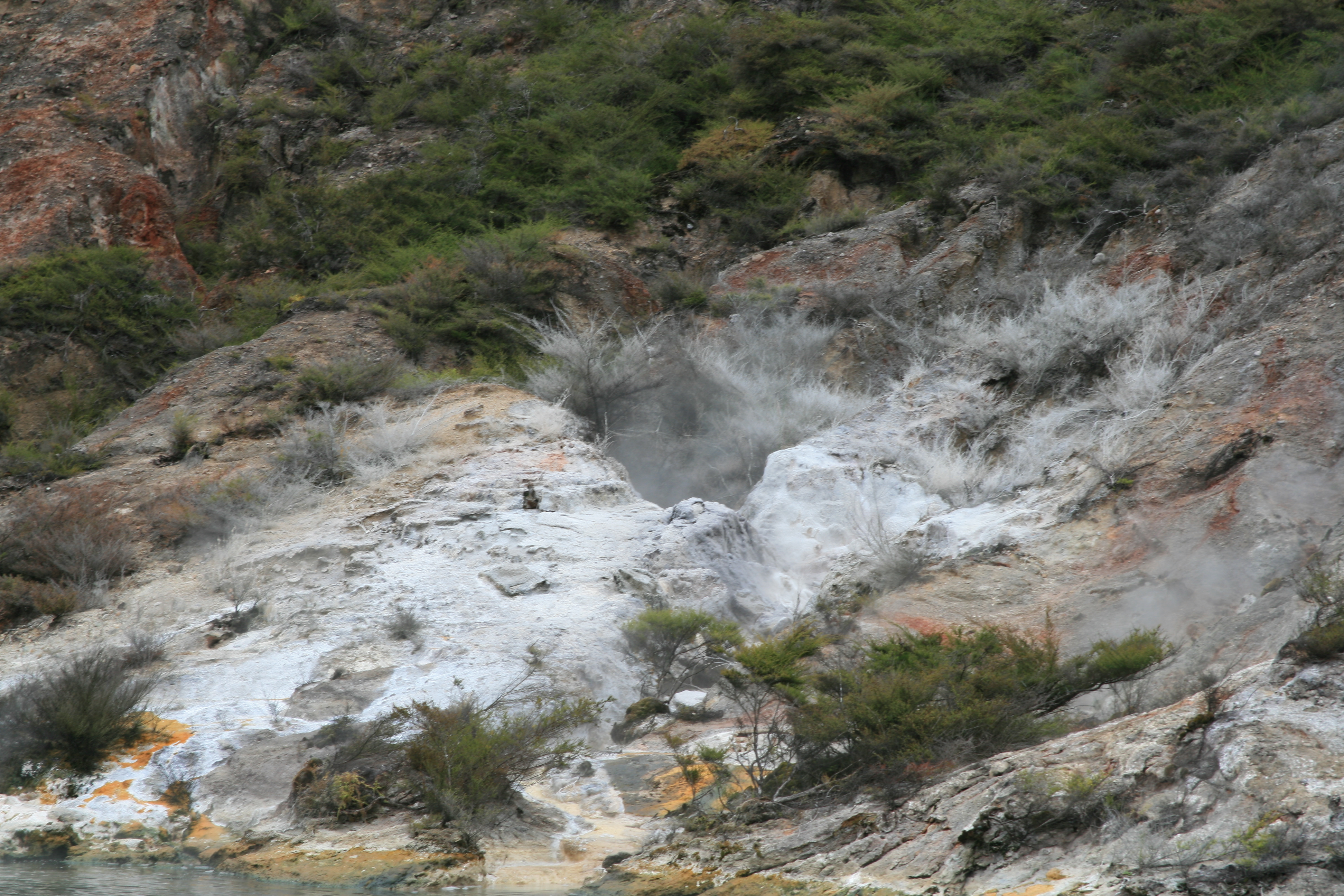
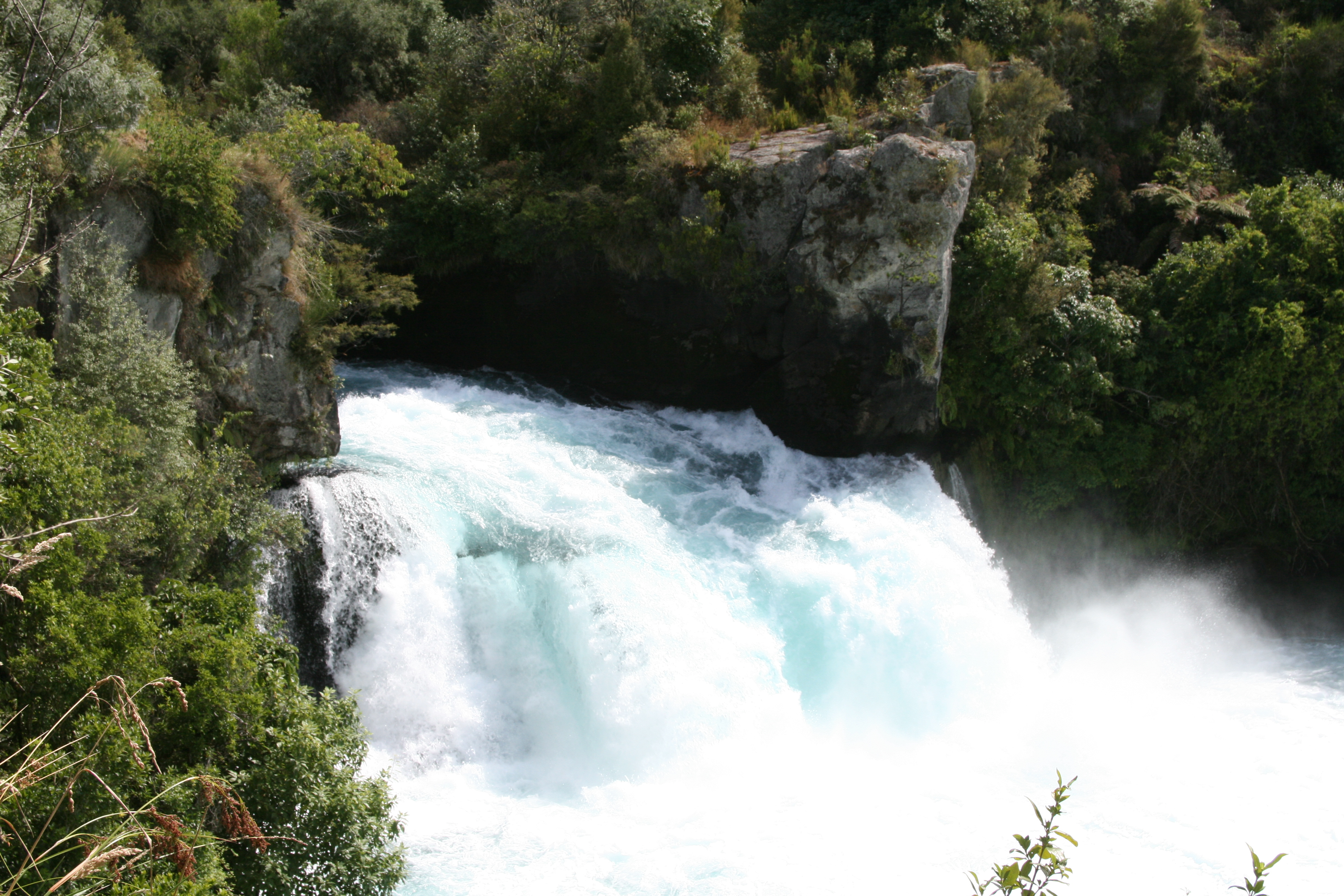
North Island, with an area of 115,777 km², is the 14th largest island on the planet. The island is much less mountainous than the South Island and is more convenient for creating settlements and seaports, which is why most of the population lives on it and the largest cities in the country are located here. The highest point on the North Island is the active volcano Ruapehu (39°16′S 175°34′E (G)(O)) at 2797 metres. The North Island is characterized by high volcanic activity: out of the country's six volcanic zones, five are located on it. In the heart of the North Island lies Lake Taupo, the largest lake in New Zealand. It is the source of the Waikato River, which is 425 kilometers long, making it the longest river in New Zealand.


Download
Archive size 265.36 Mb, downloaded 266 times