Geographic maps and illustrations from a 19th century atlas (24 photos)
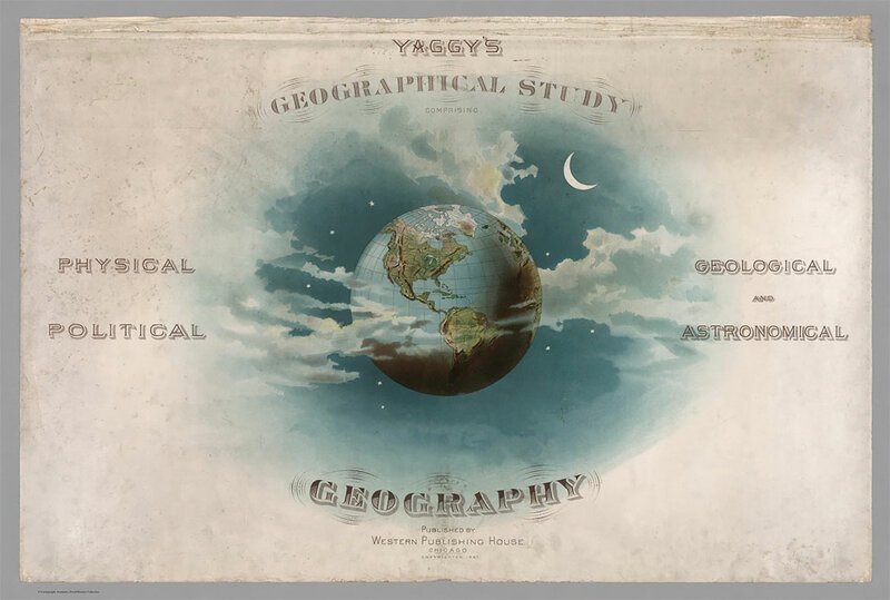
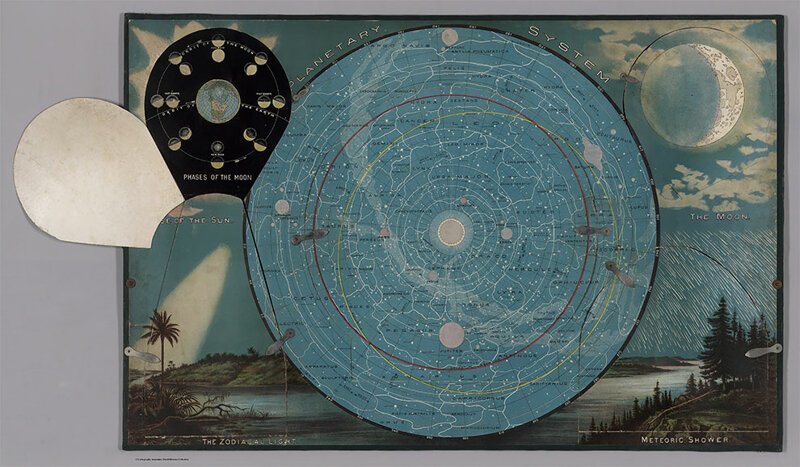
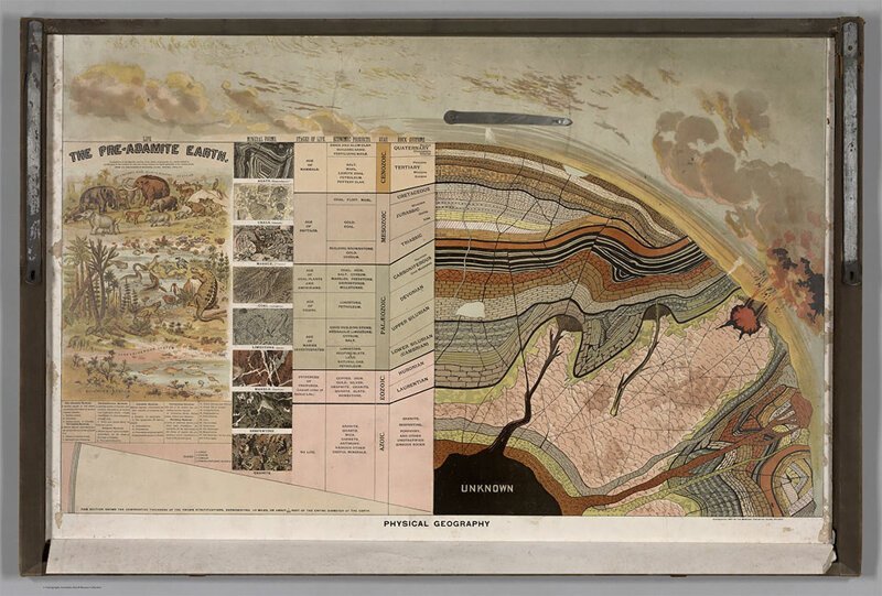
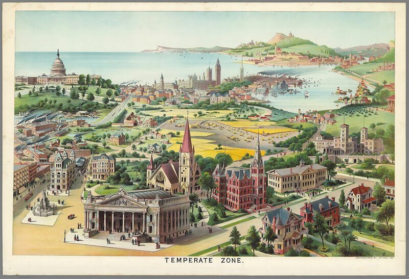
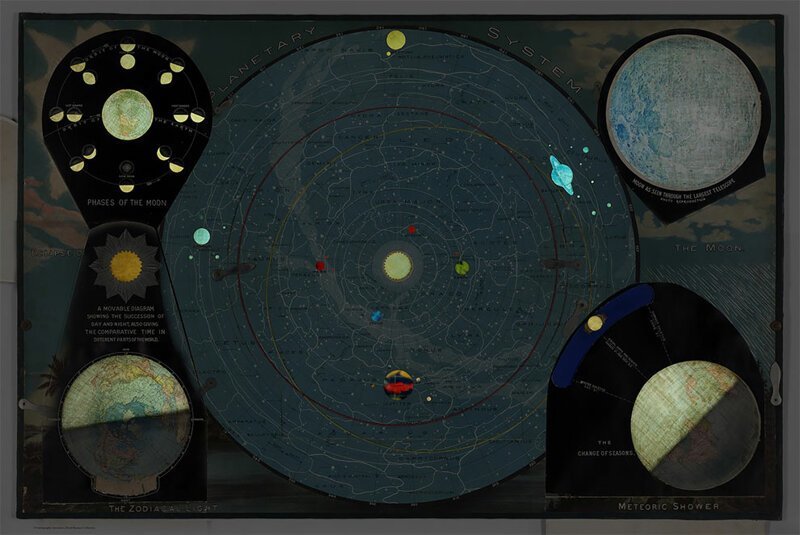
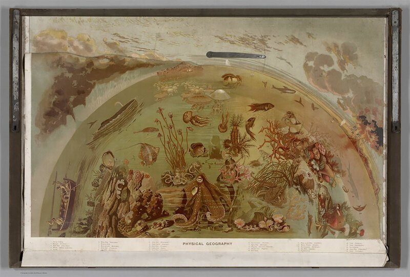
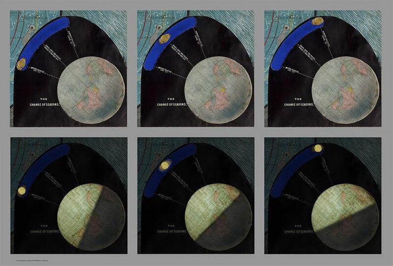
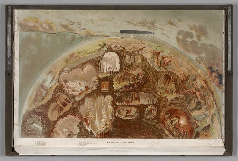
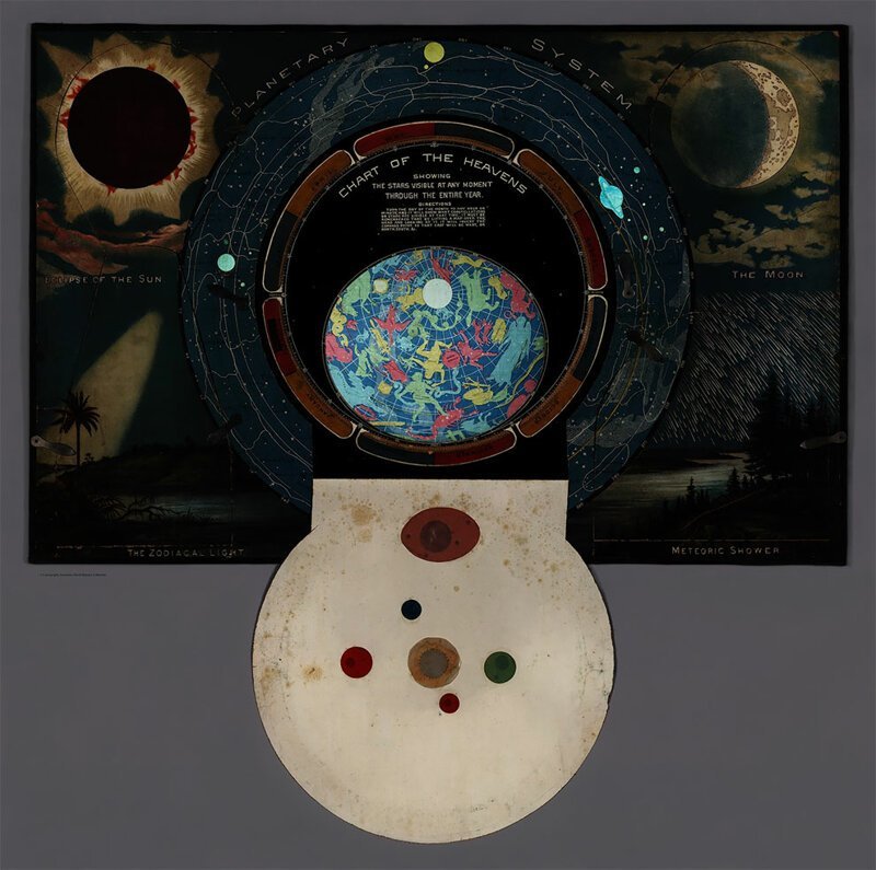
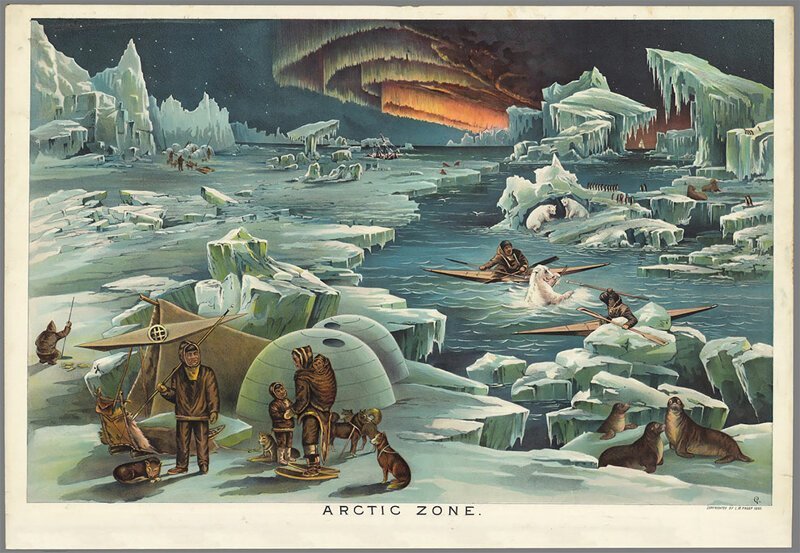
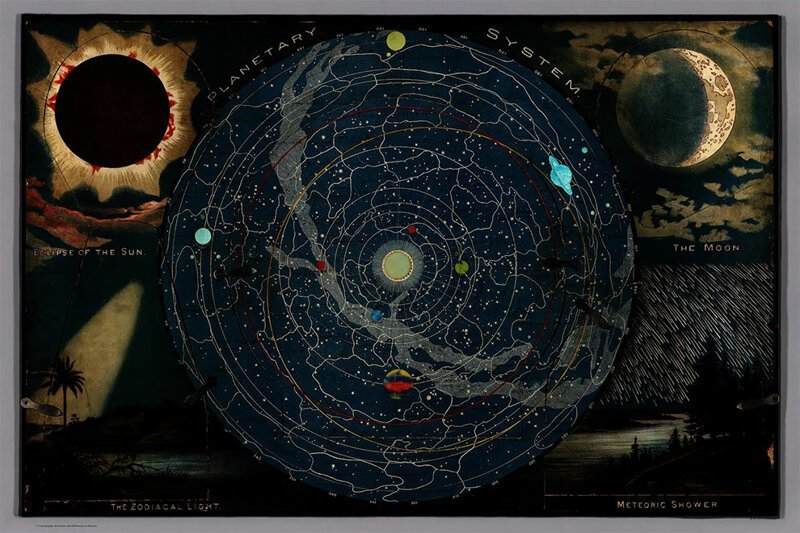
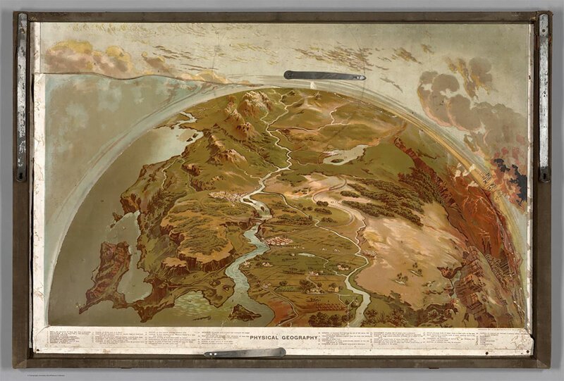
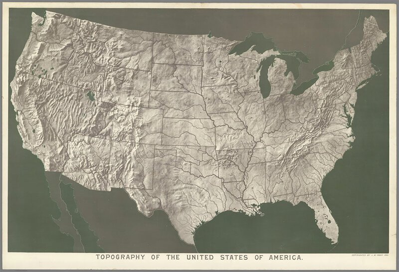
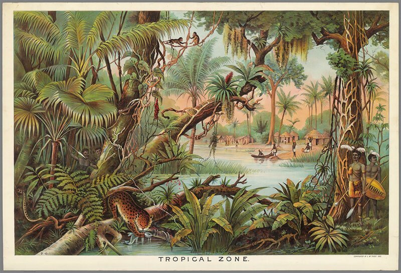
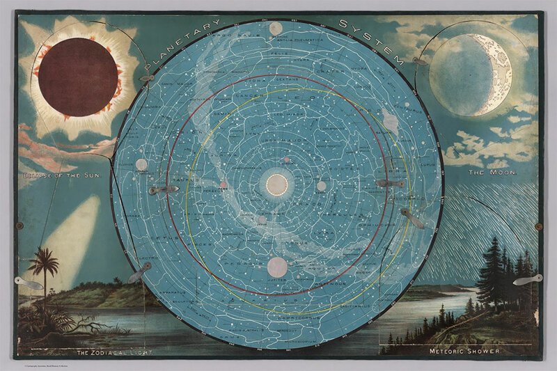
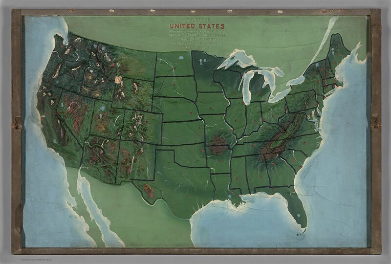
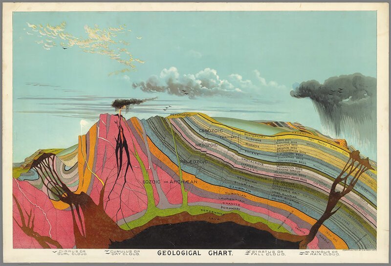
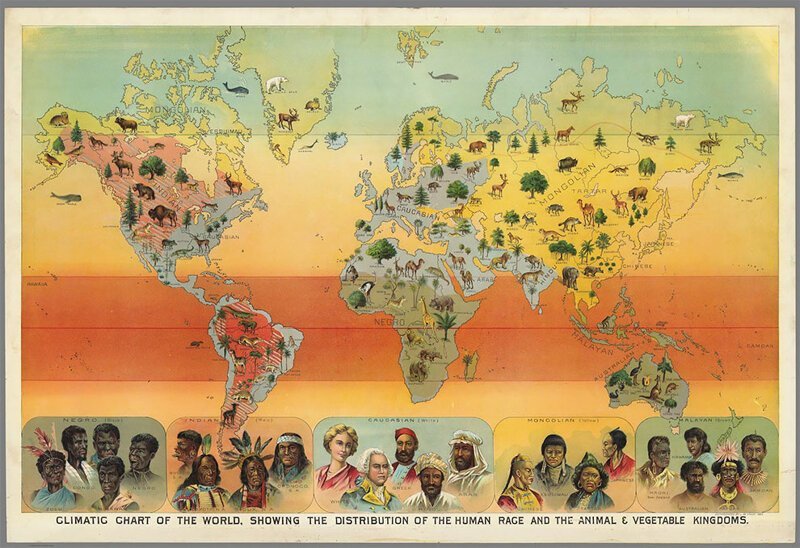
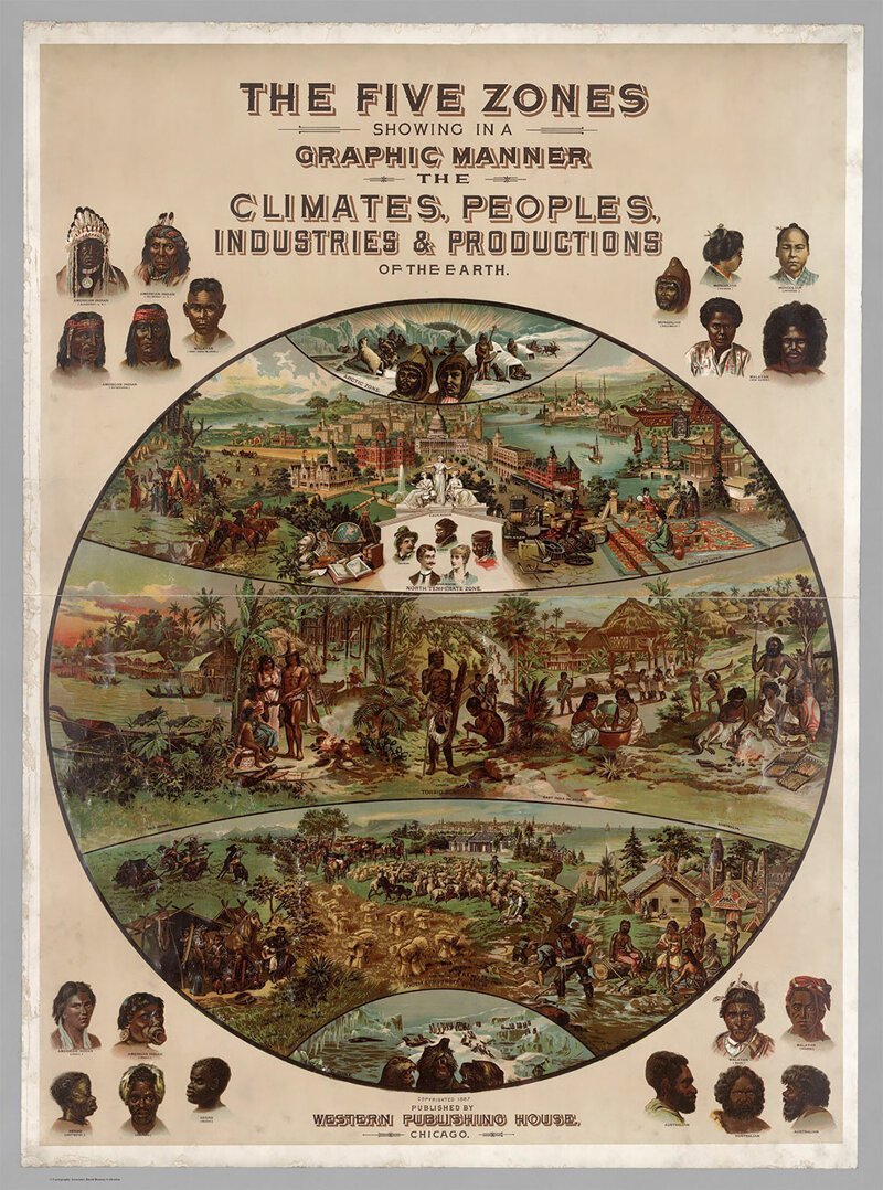
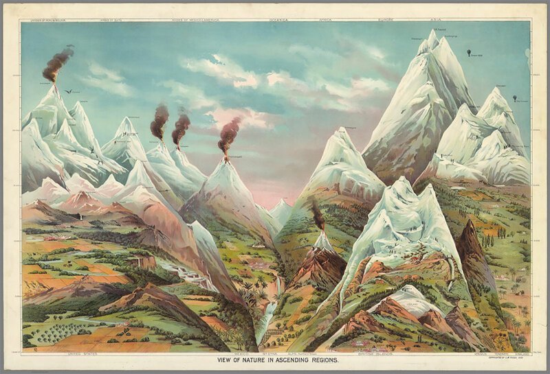
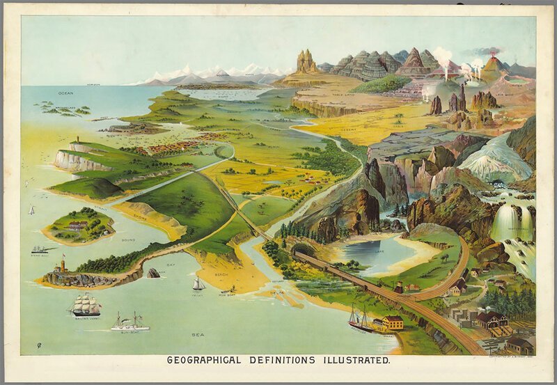
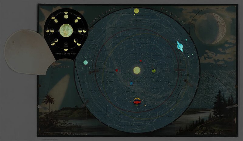
The illustrations from Levi Walter Yaggy's geographic portfolio combine physical, political, geological and astronomical maps. Published in 1887 in Chicago, this collection is one of the most beautiful, informative, and impressive educational materials of the 19th century.
Using the method of chromolithography (a lithographic method of printing with multiple inks), Yaggi created impressive colors and contrasts in images of planets, the world, regions and peoples. The maps were published for use in schools with an accompanying teacher's guide.

Как садят рис
Смотреть видео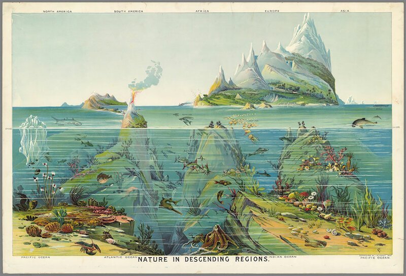

Download
Archive size 2.62 Mb, downloaded 216 times