Photo excursion - Georgia, Svaneti (44 photos) (part 1)
Upper Svaneti
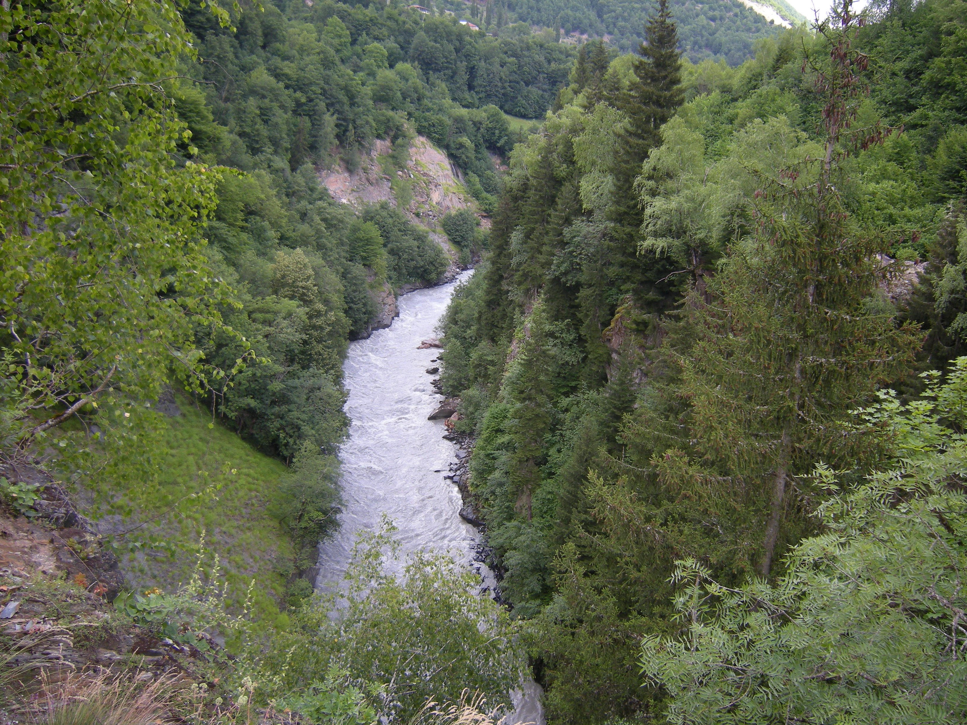
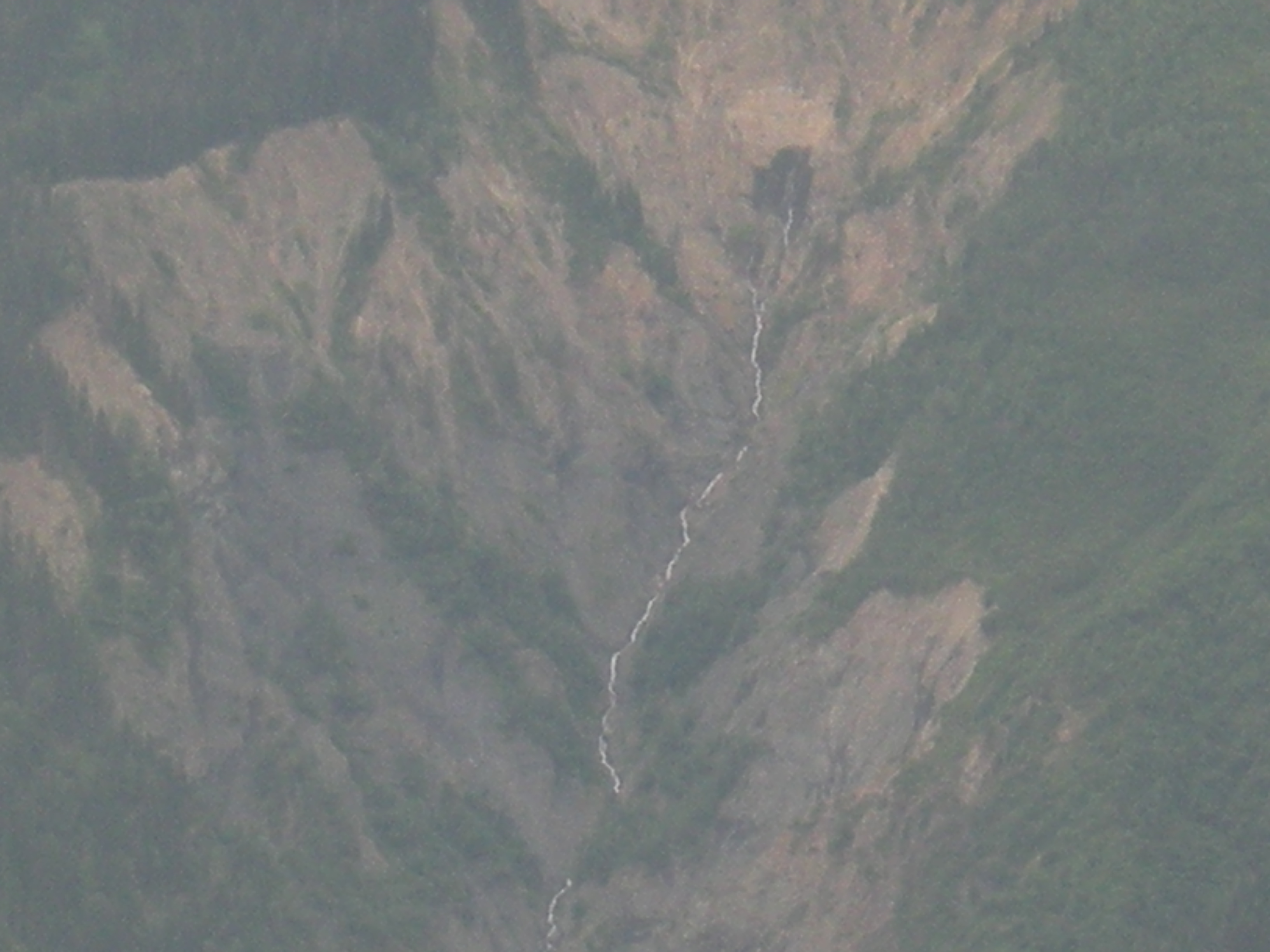
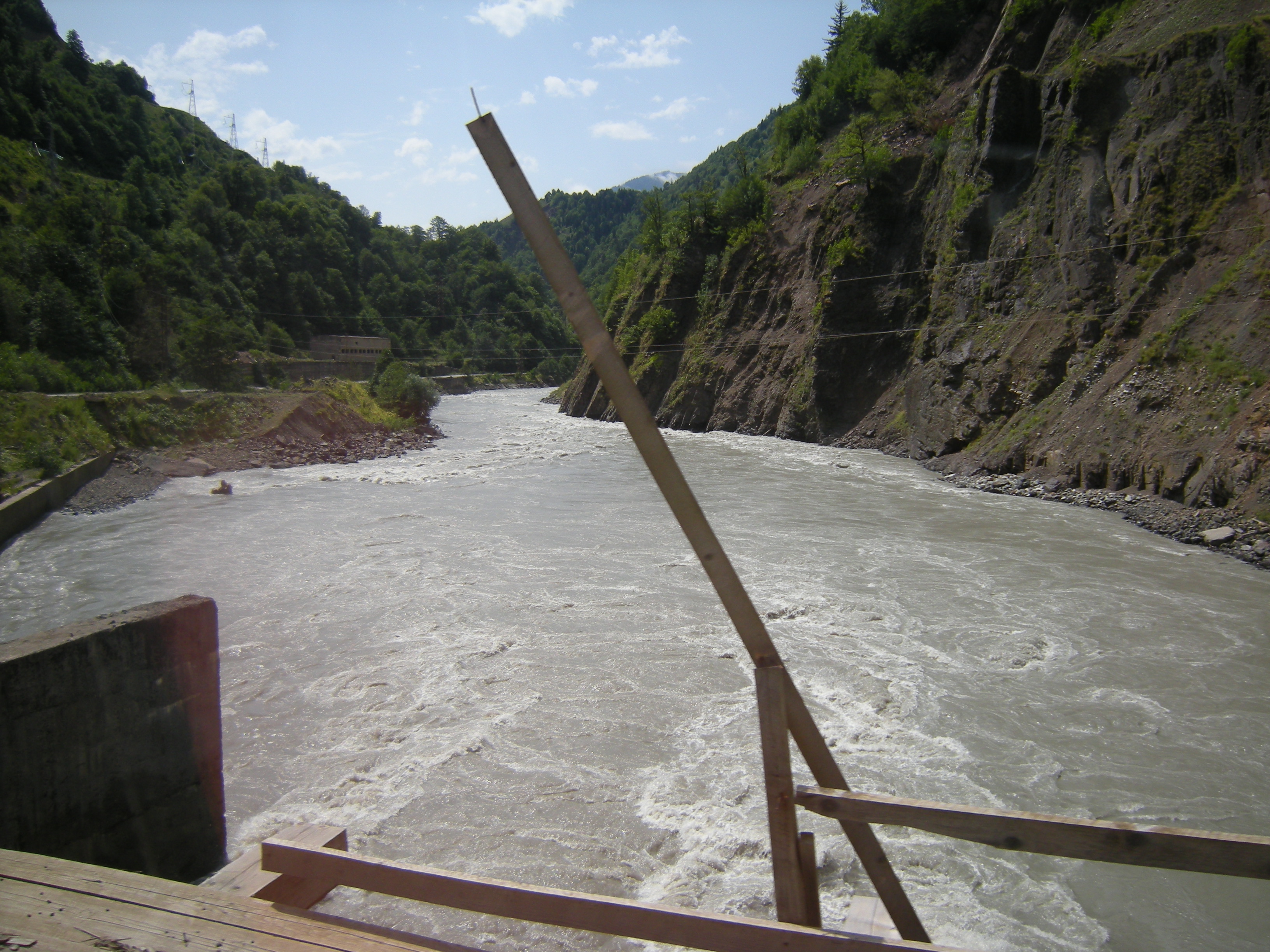
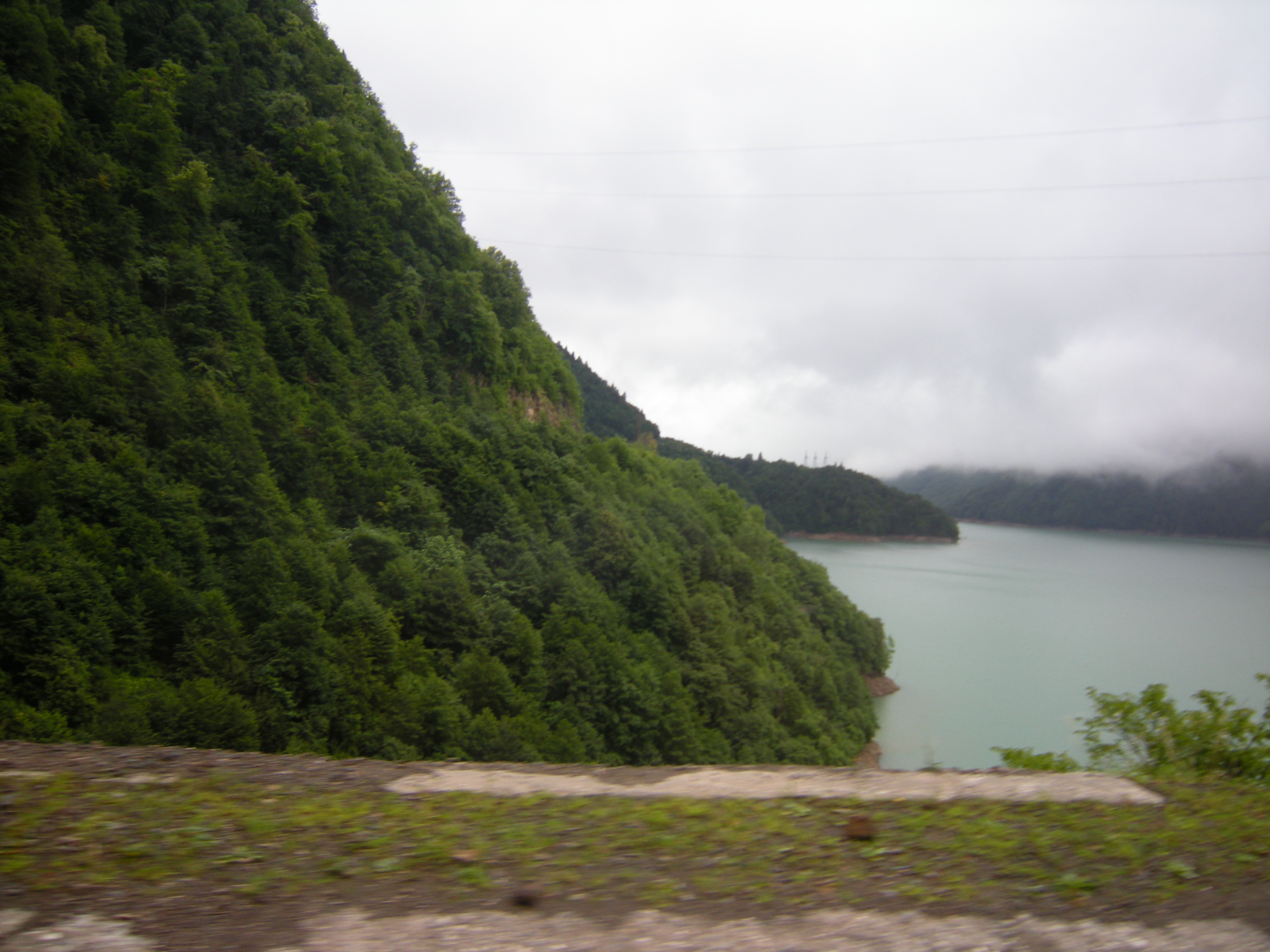
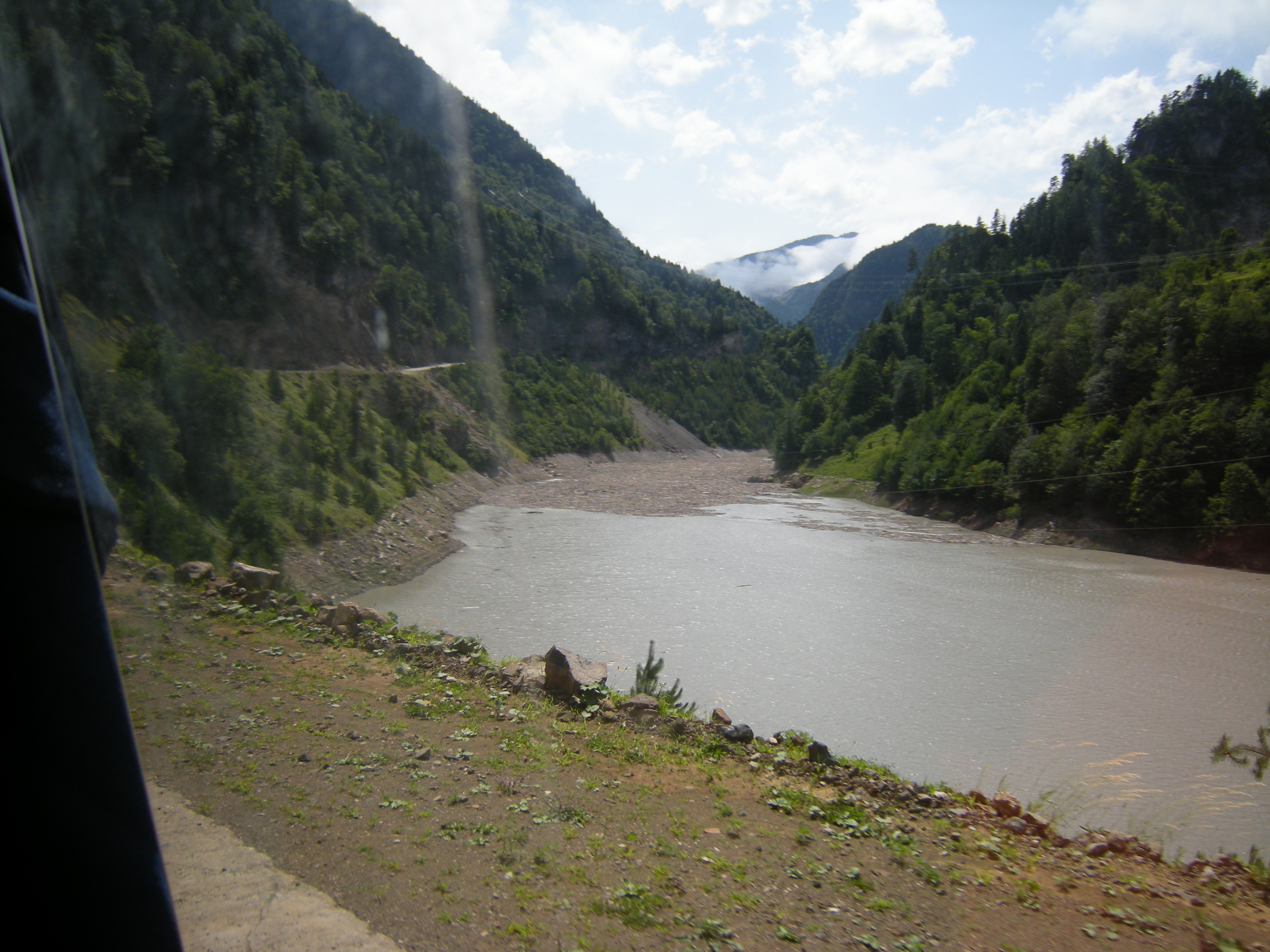
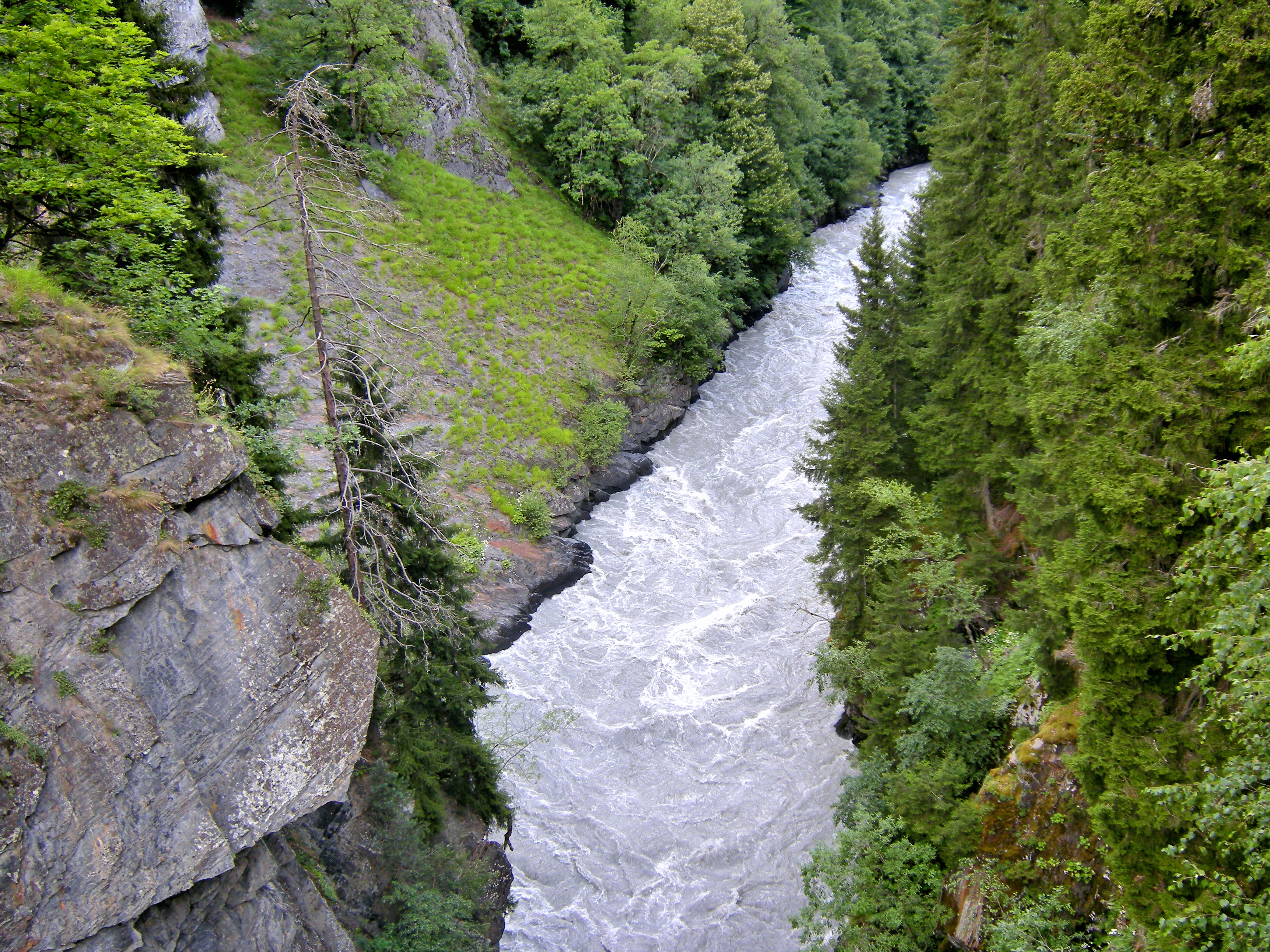
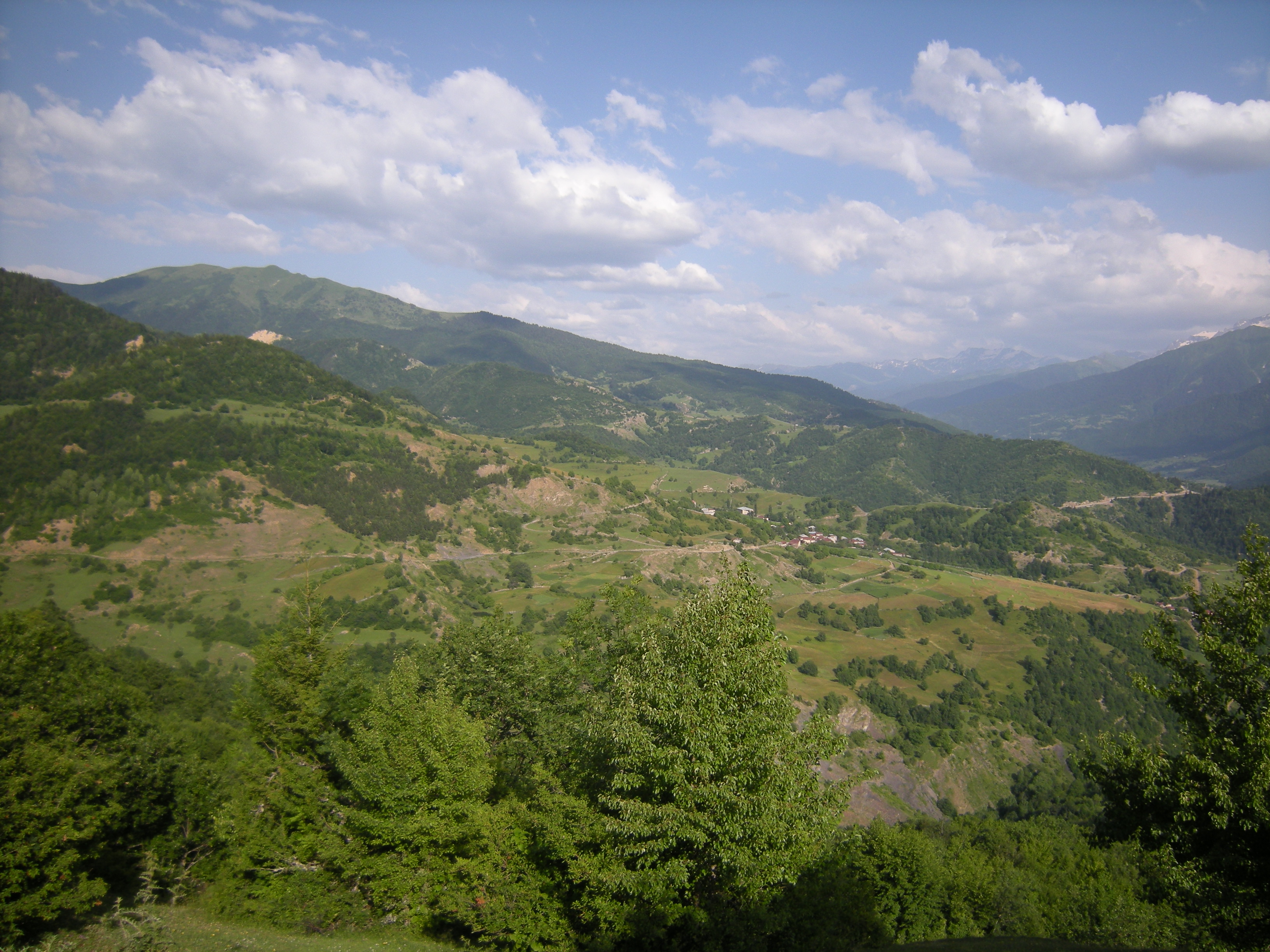
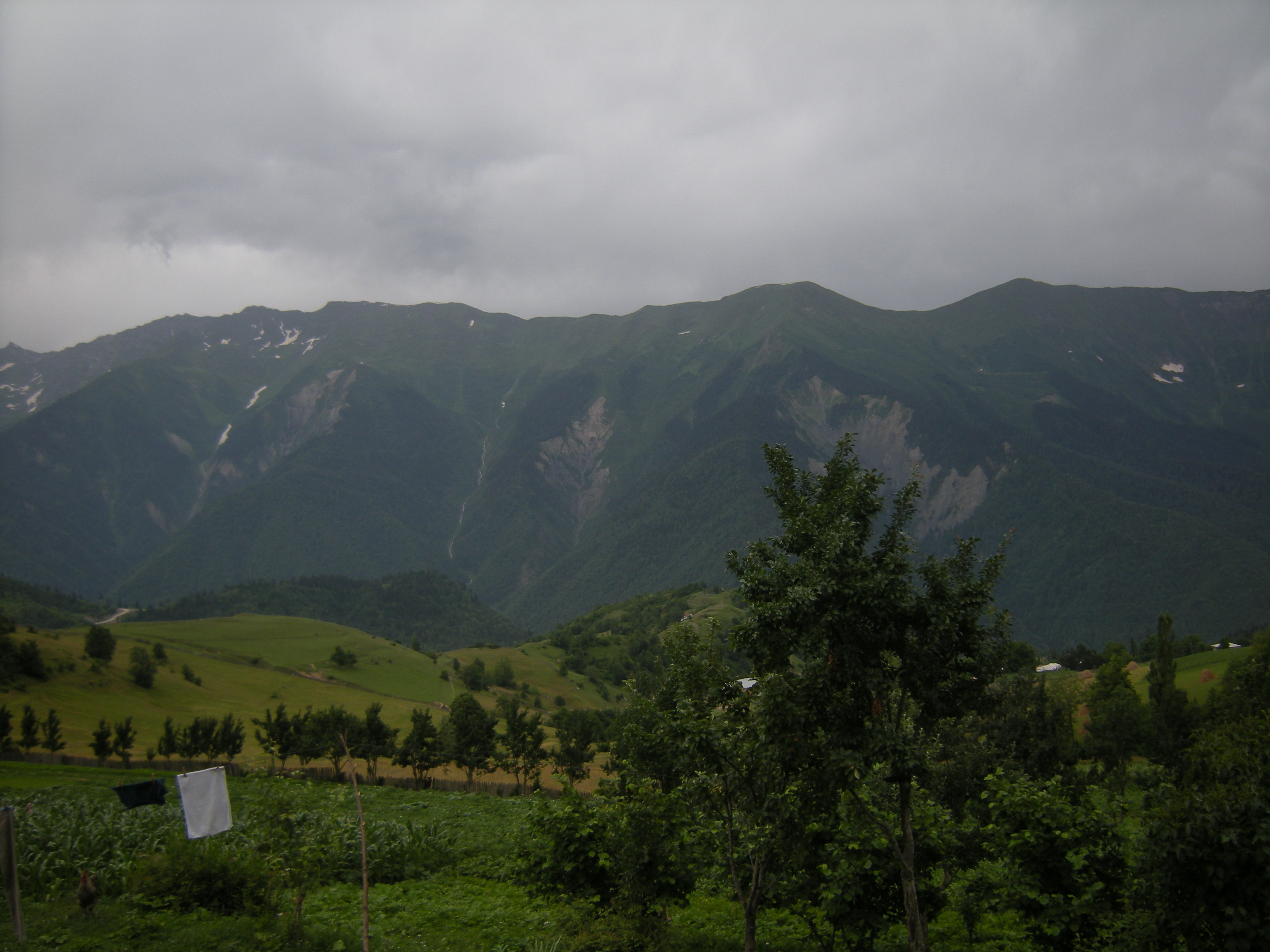
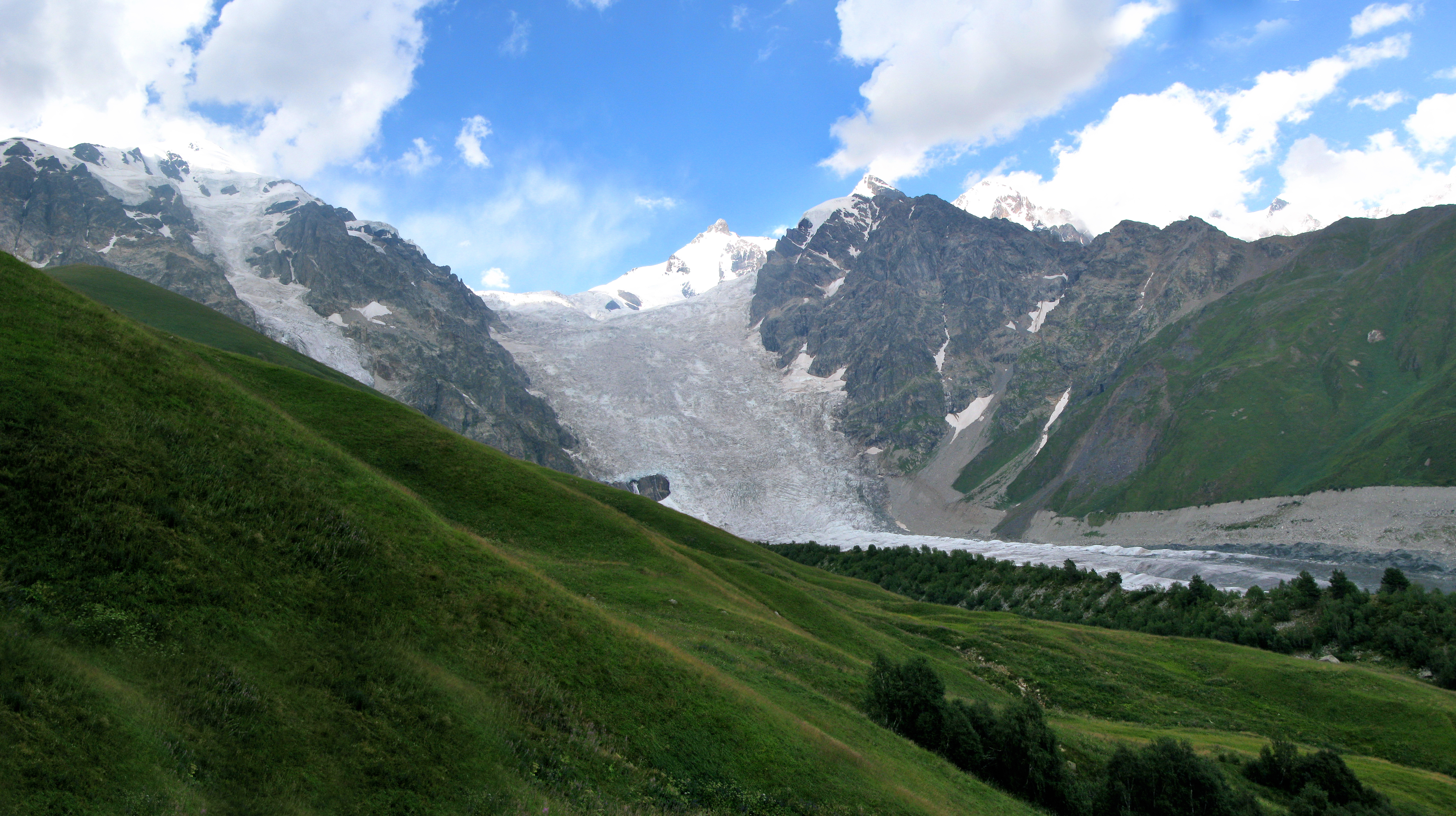
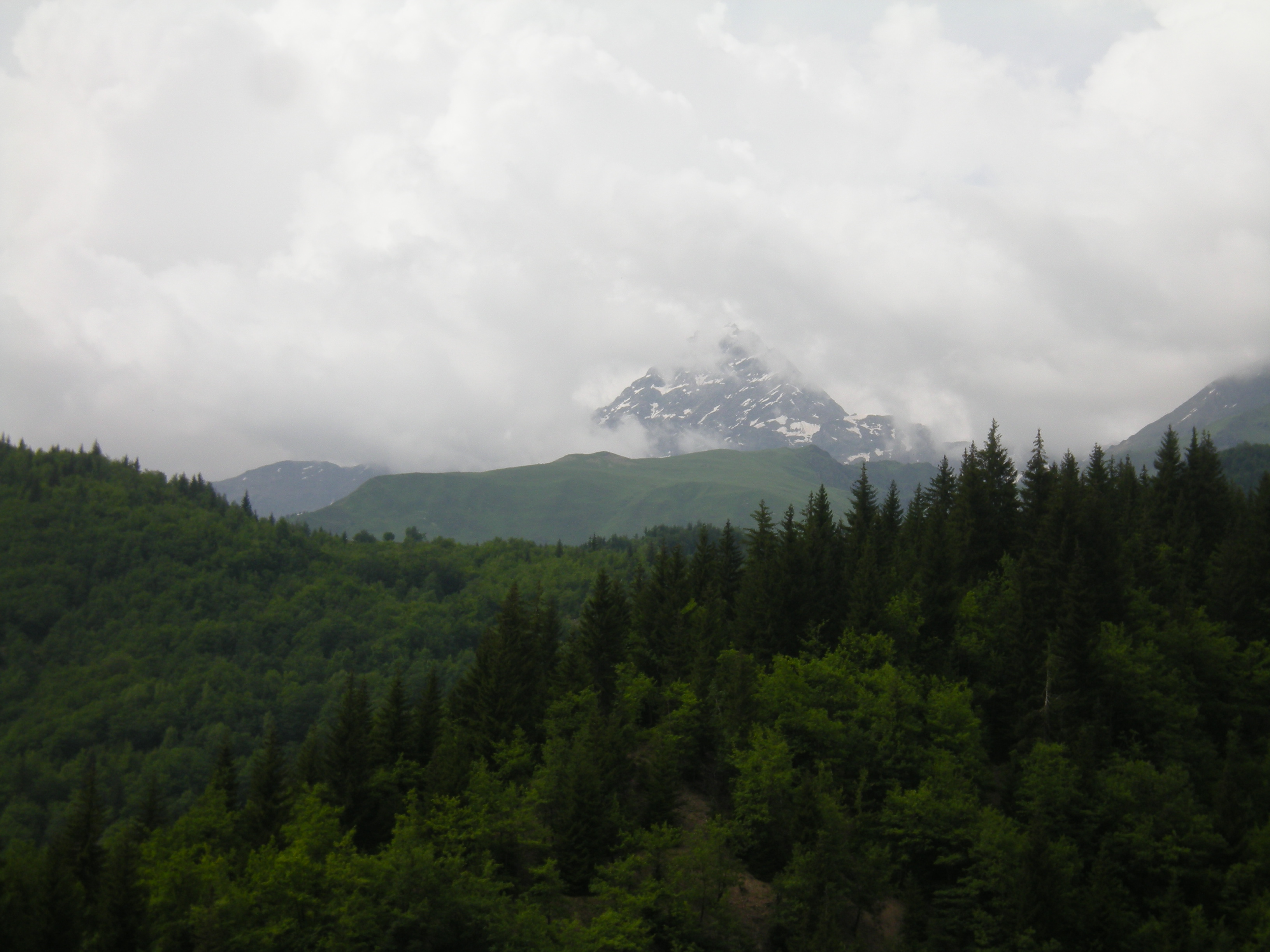
Upper Svaneti (Georgian: ზემო სვანეთი Zemo-Svaneti) is a high-mountain valley in the upper reaches of the Enguri River, located between 42°48' and 43°15' north. latitude and between 42°00' and 43°00' east. longitude and covers an area of 3154 km².
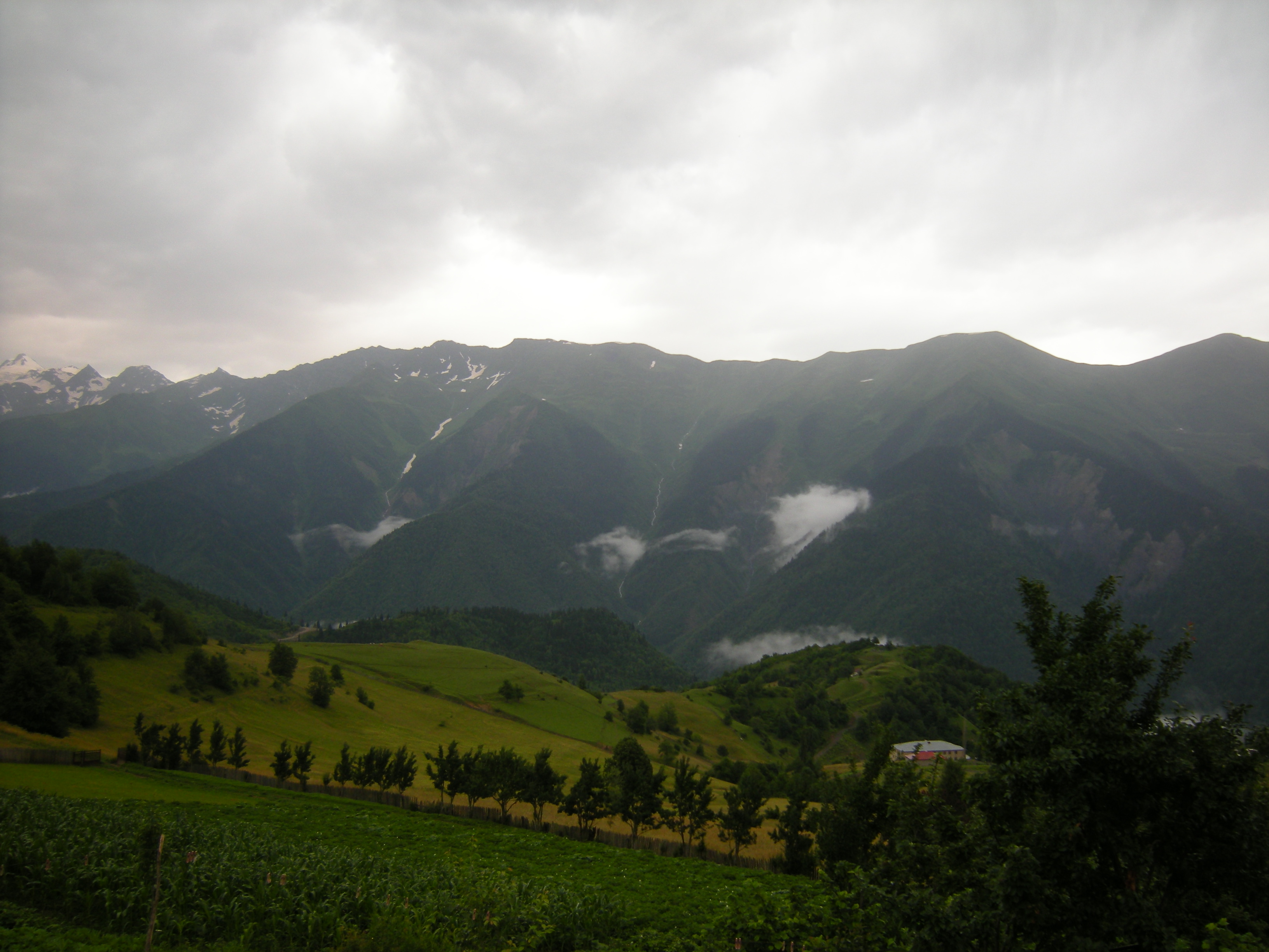
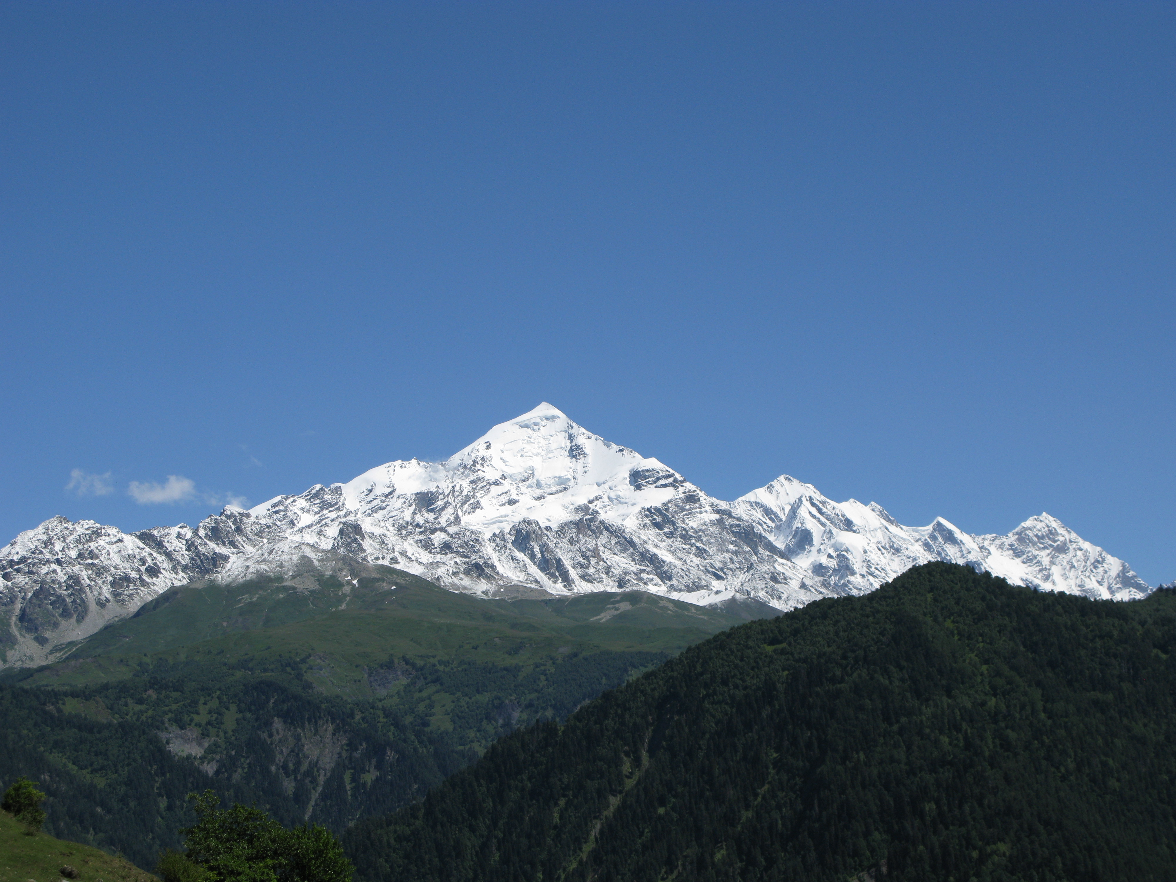
From the north and east, Upper Svaneti is bordered by the Main Caucasus Range with the peaks of Shkhelda, Ushba, Tetnuldi, etc., along which the border of Georgia with Russia (Kabardino-Balkaria) runs. From the south rises the Svaneti ridge, which adjoins directly the Main Caucasian ridge and closes Upper Svaneti to the east.
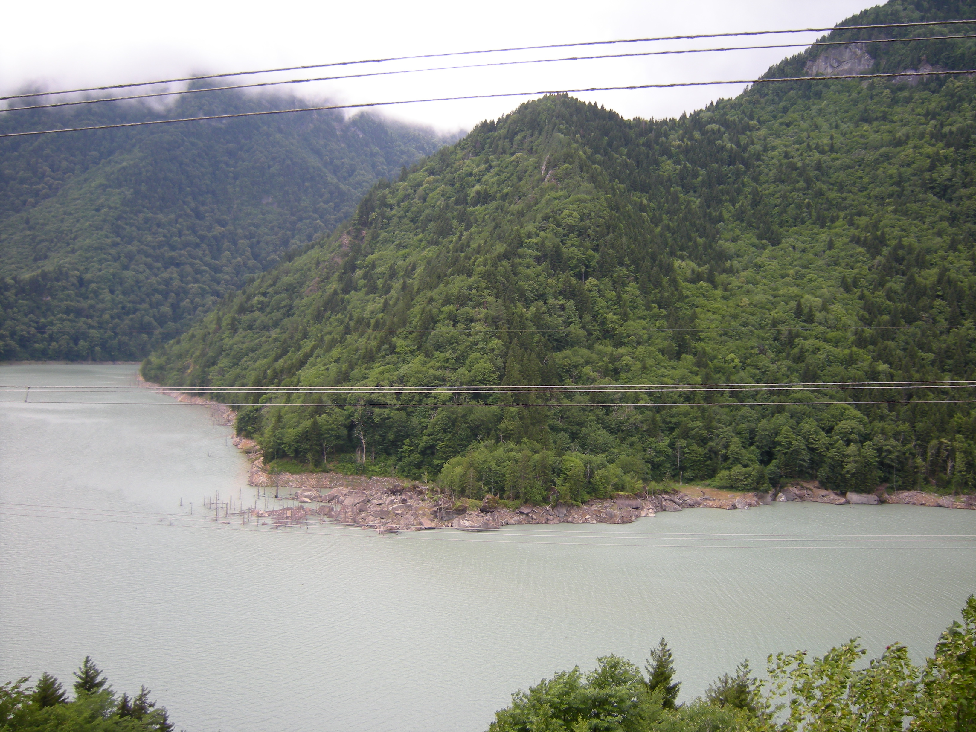
From the west, the region is separated by the Khurum ridge from the Kodori Gorge.
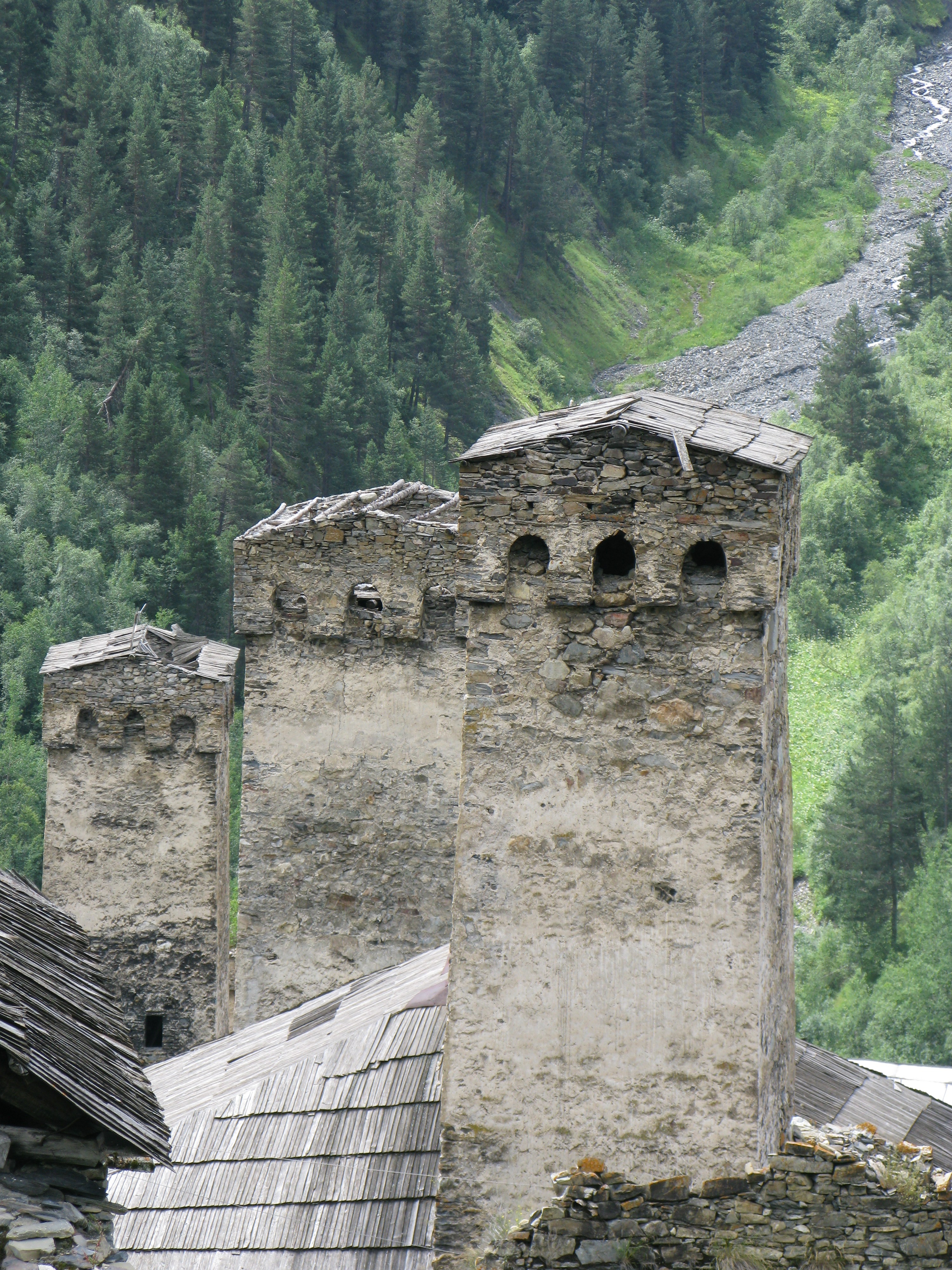
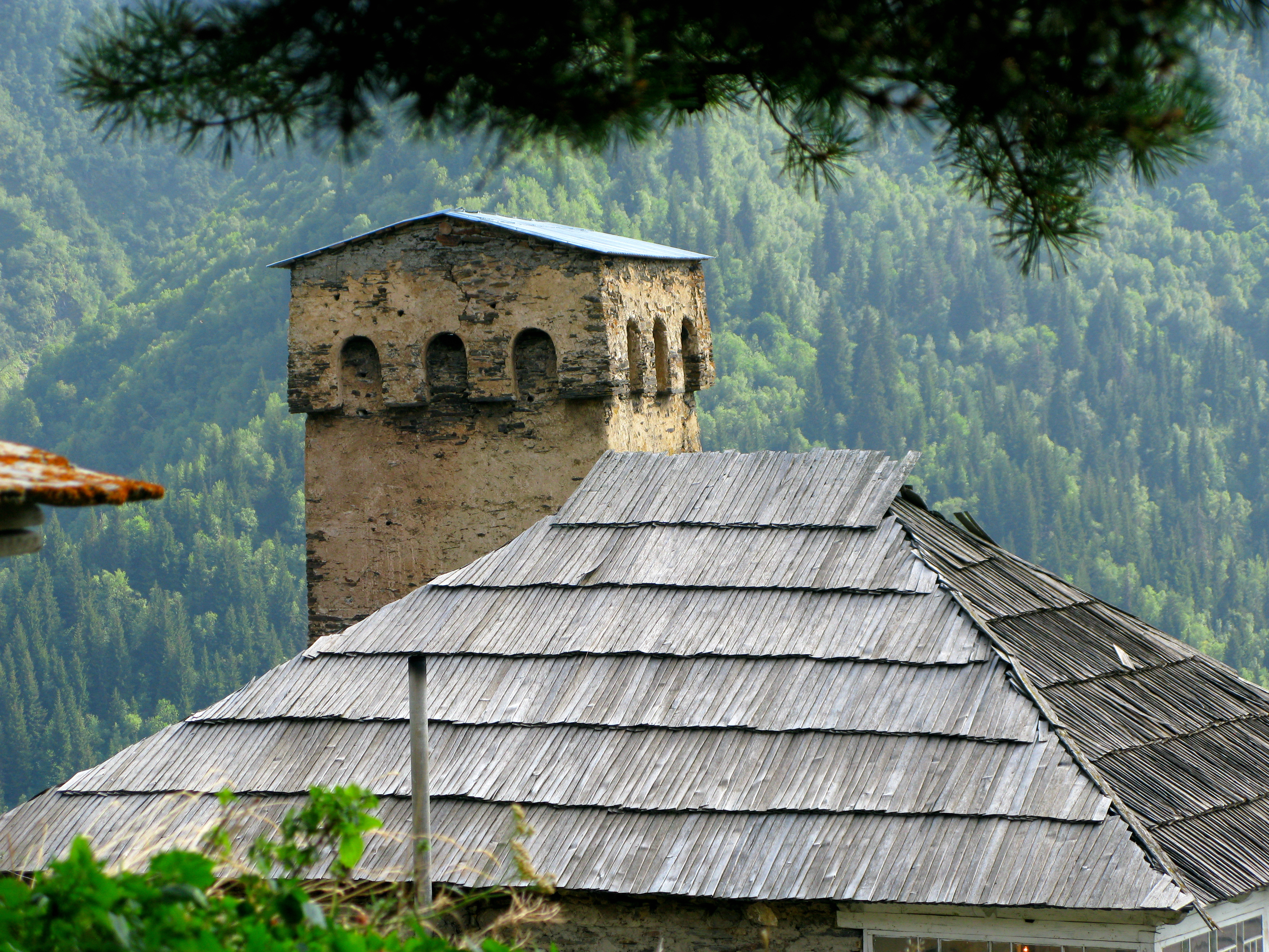
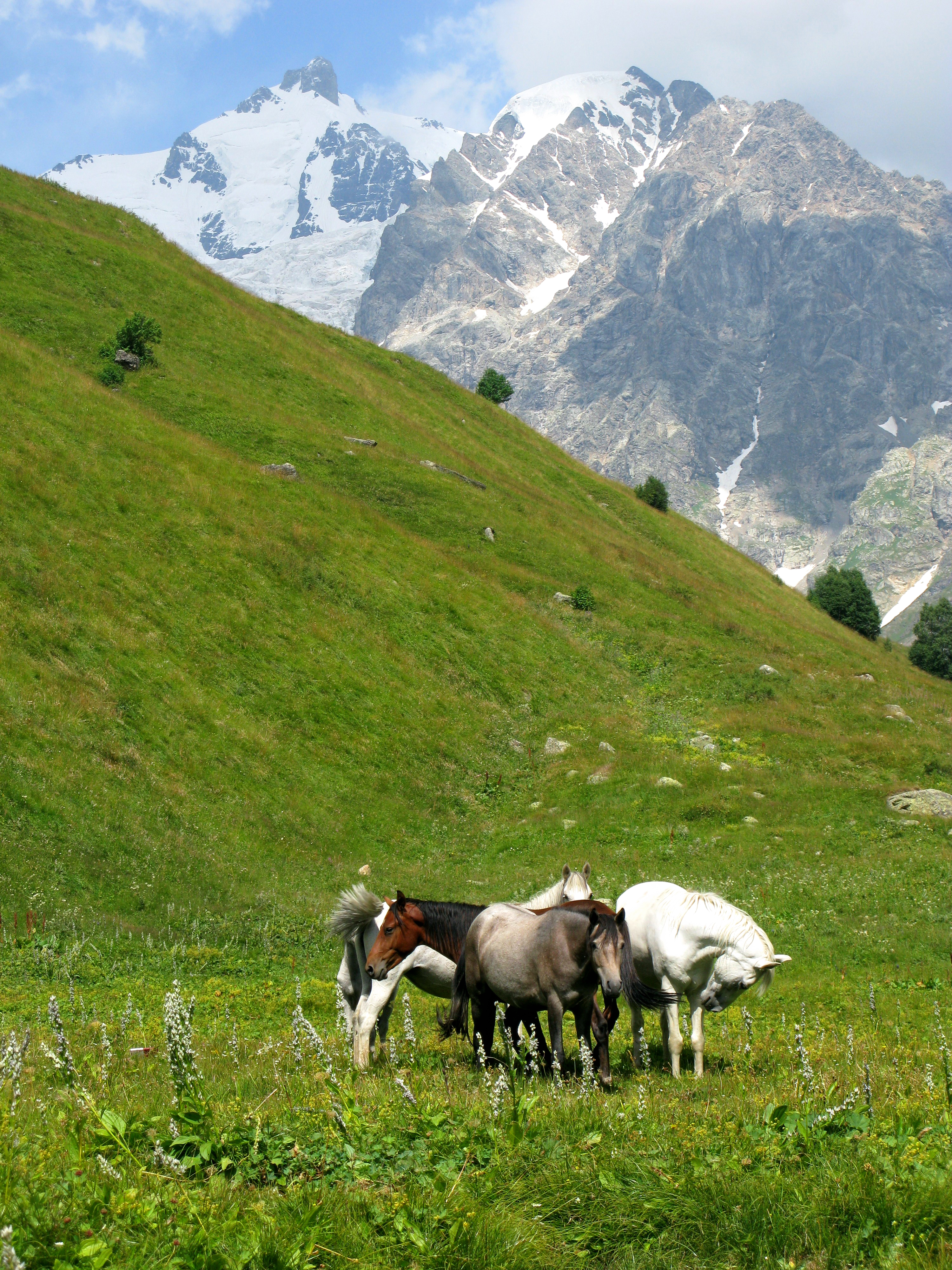
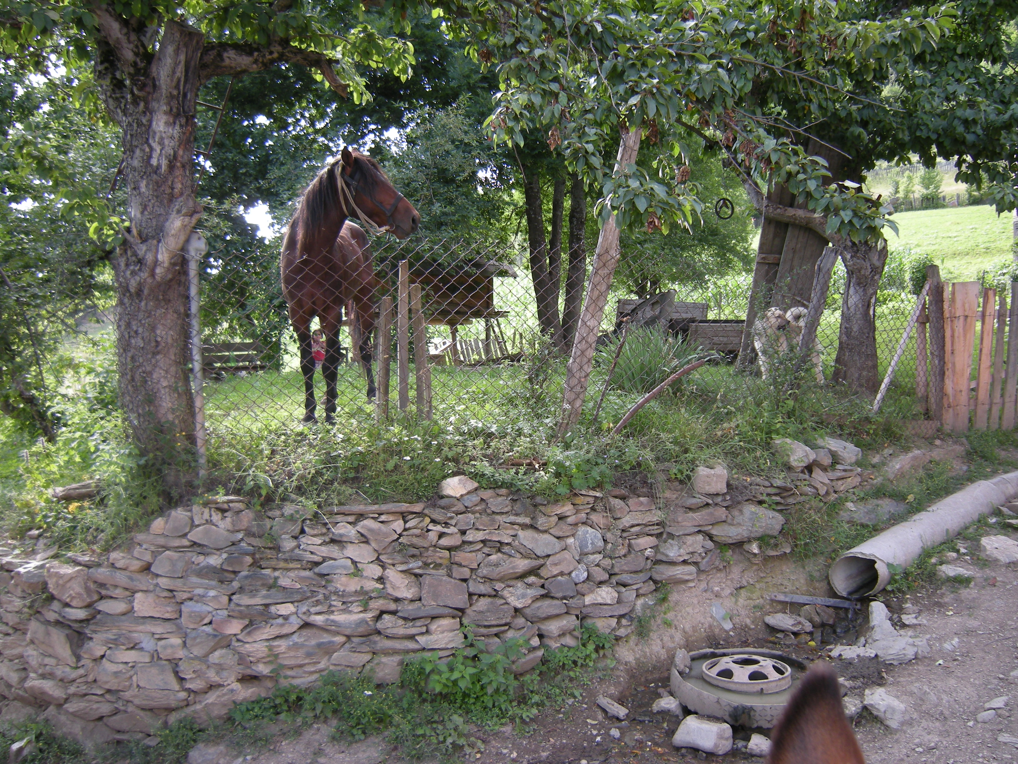
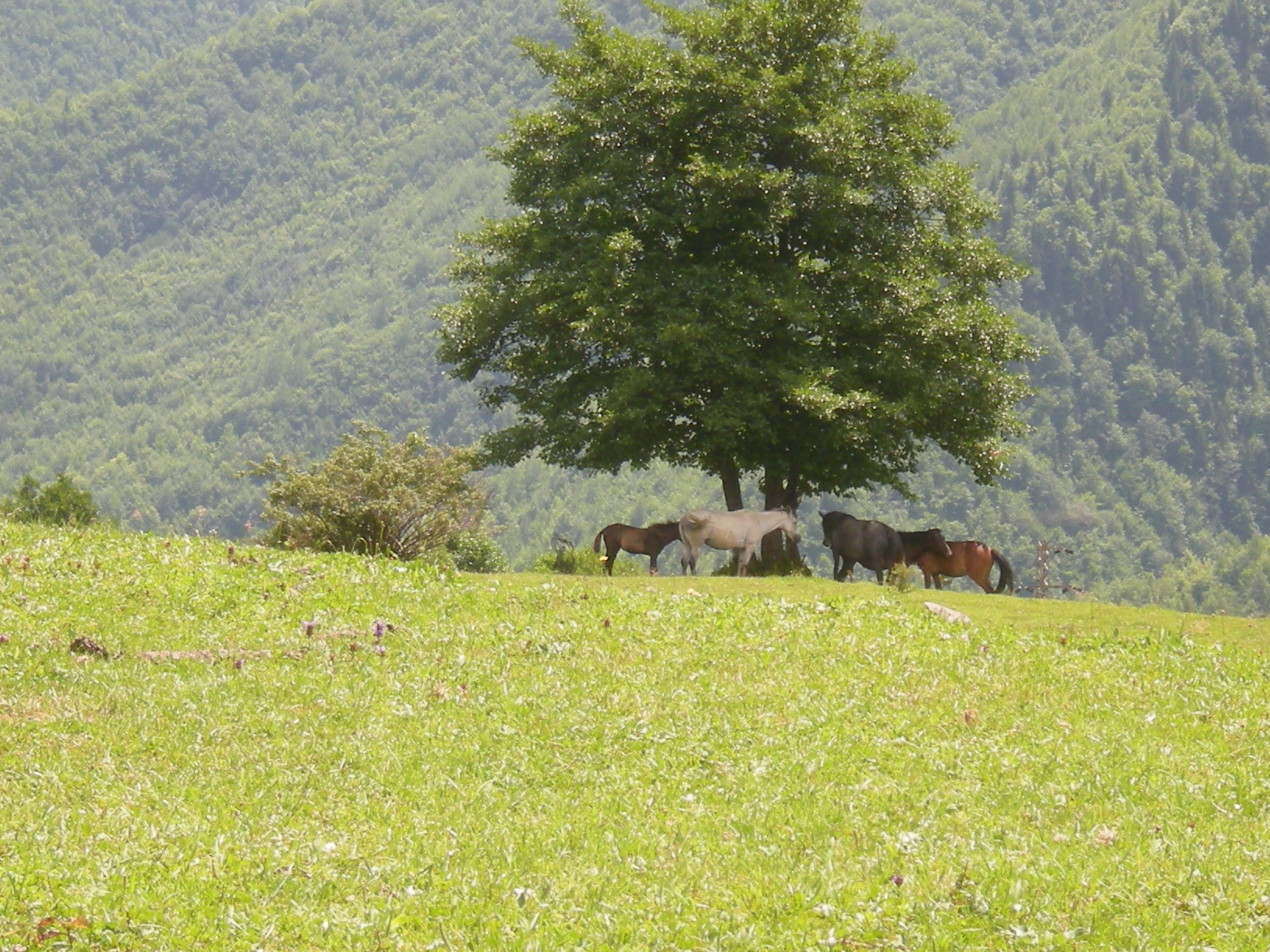
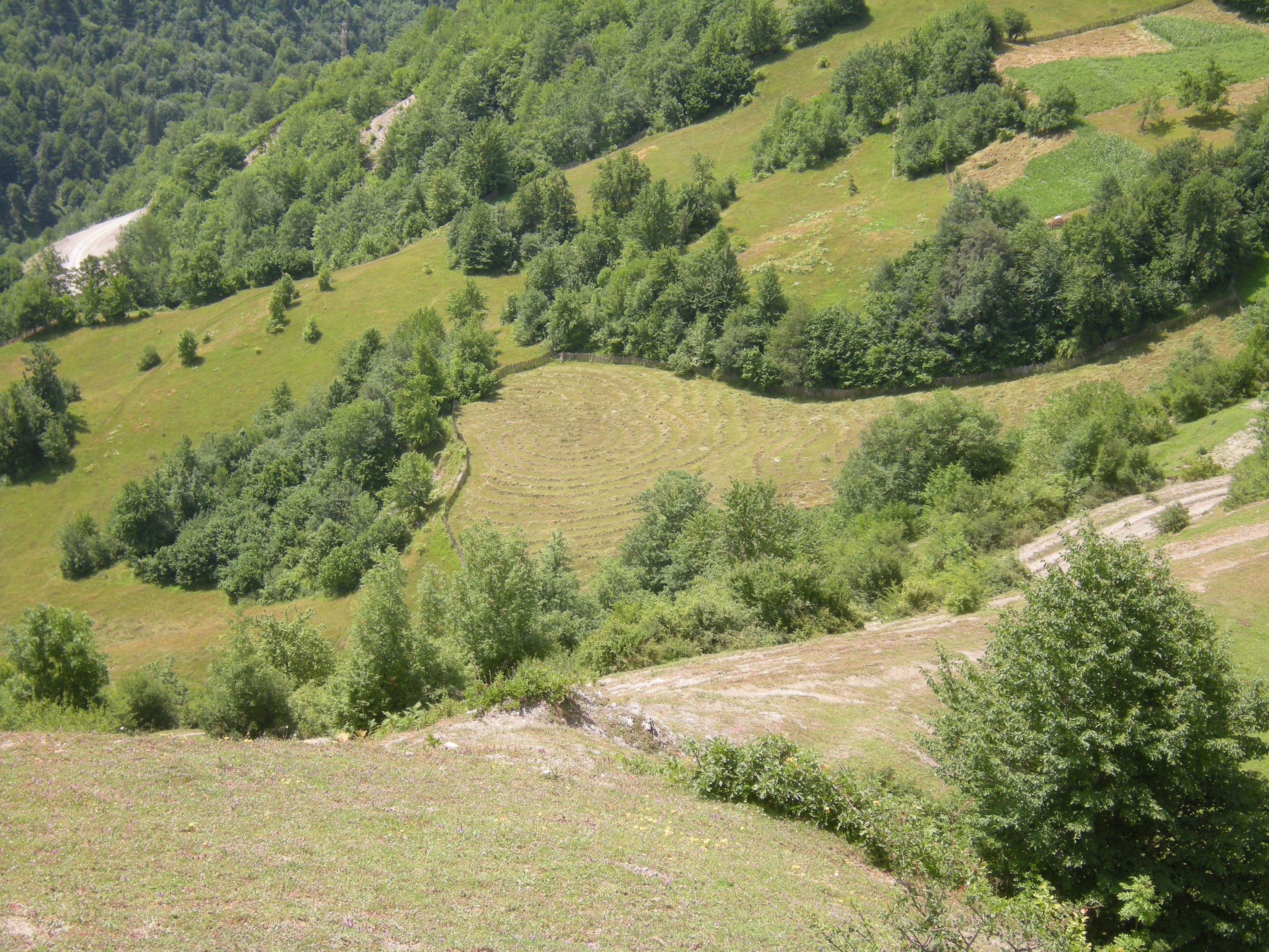
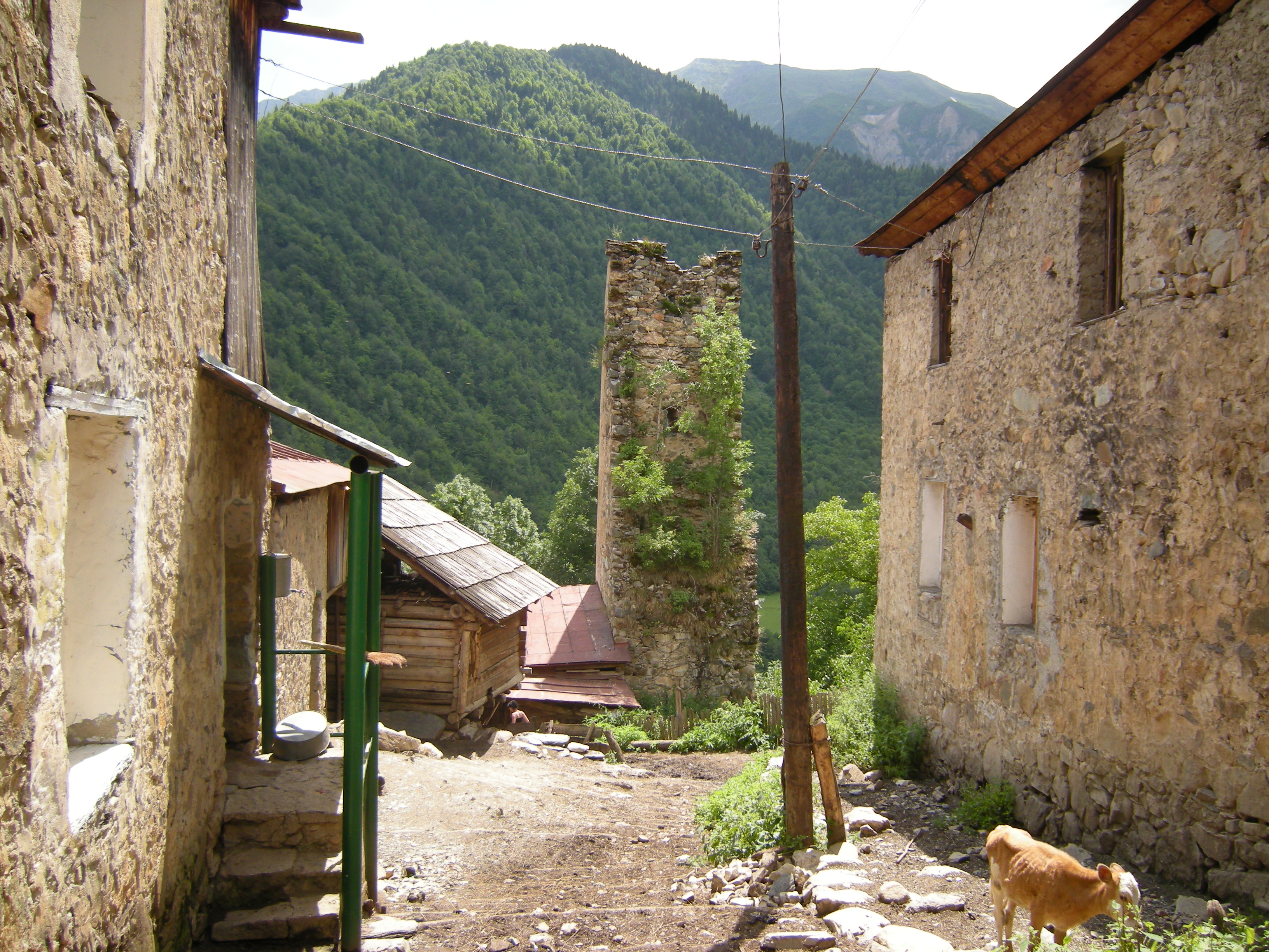
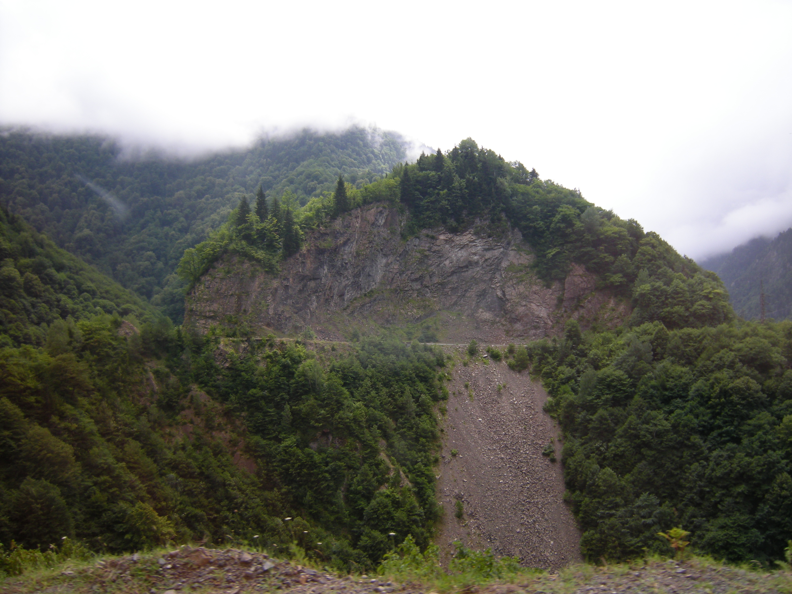
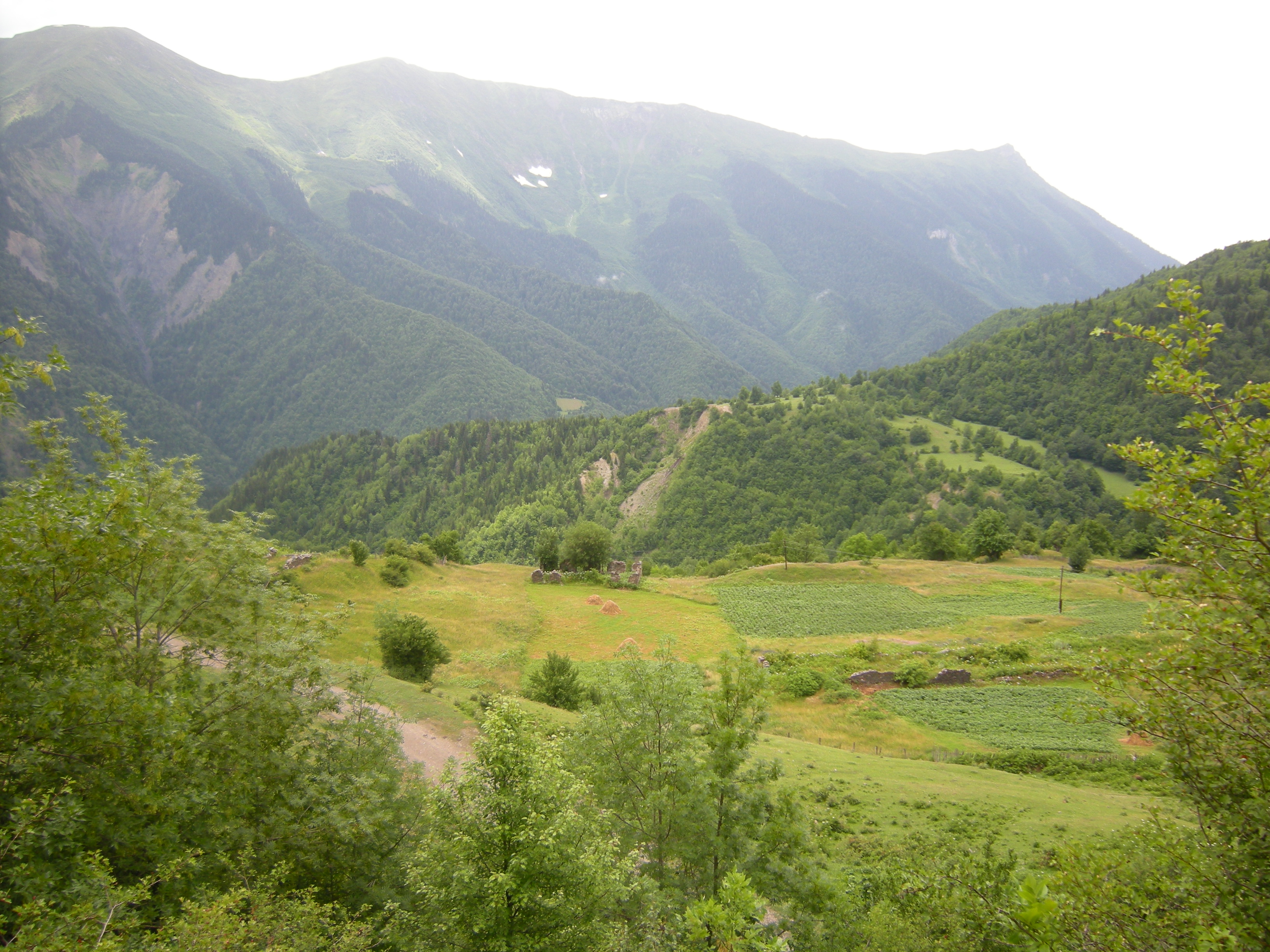
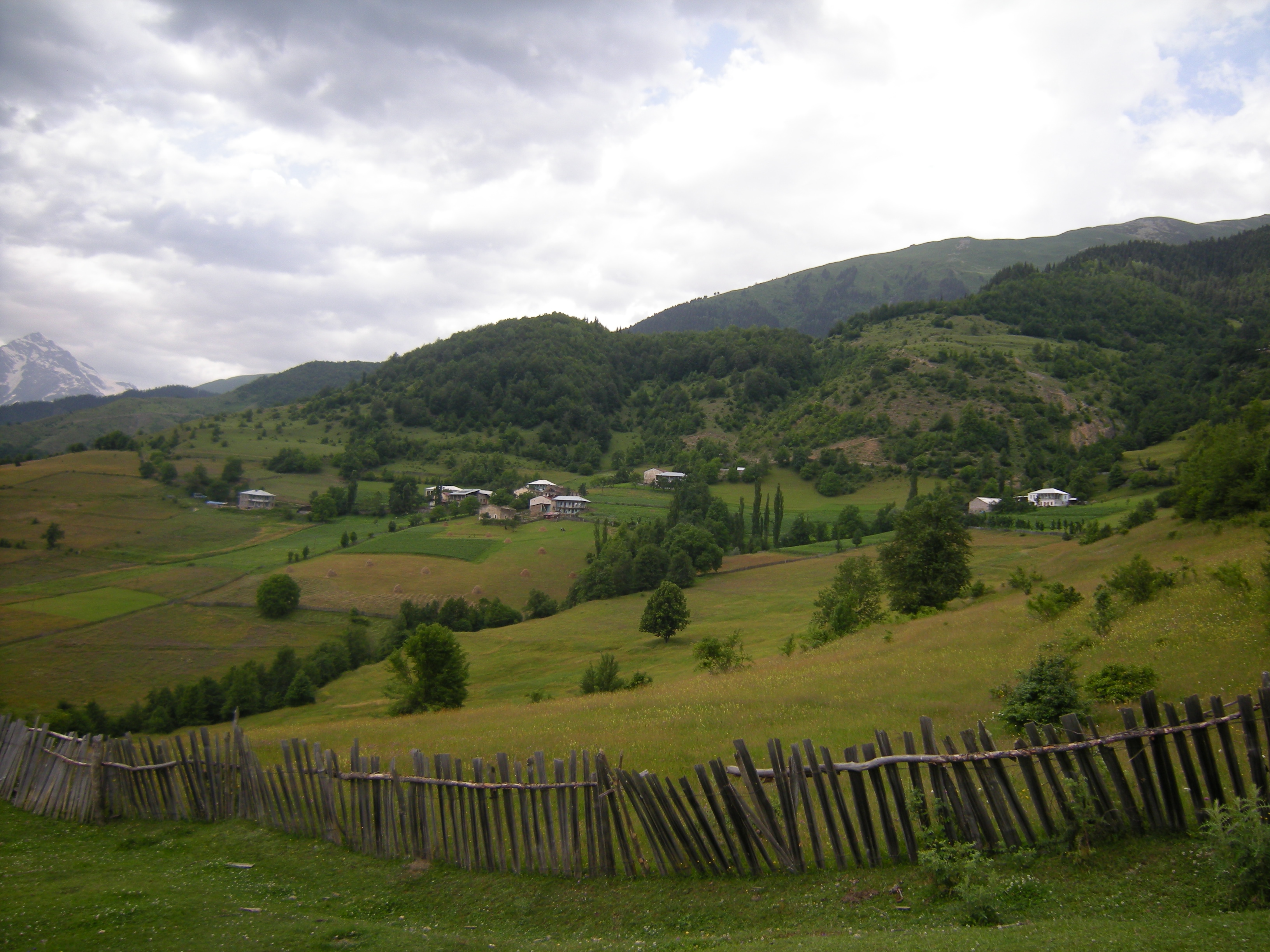
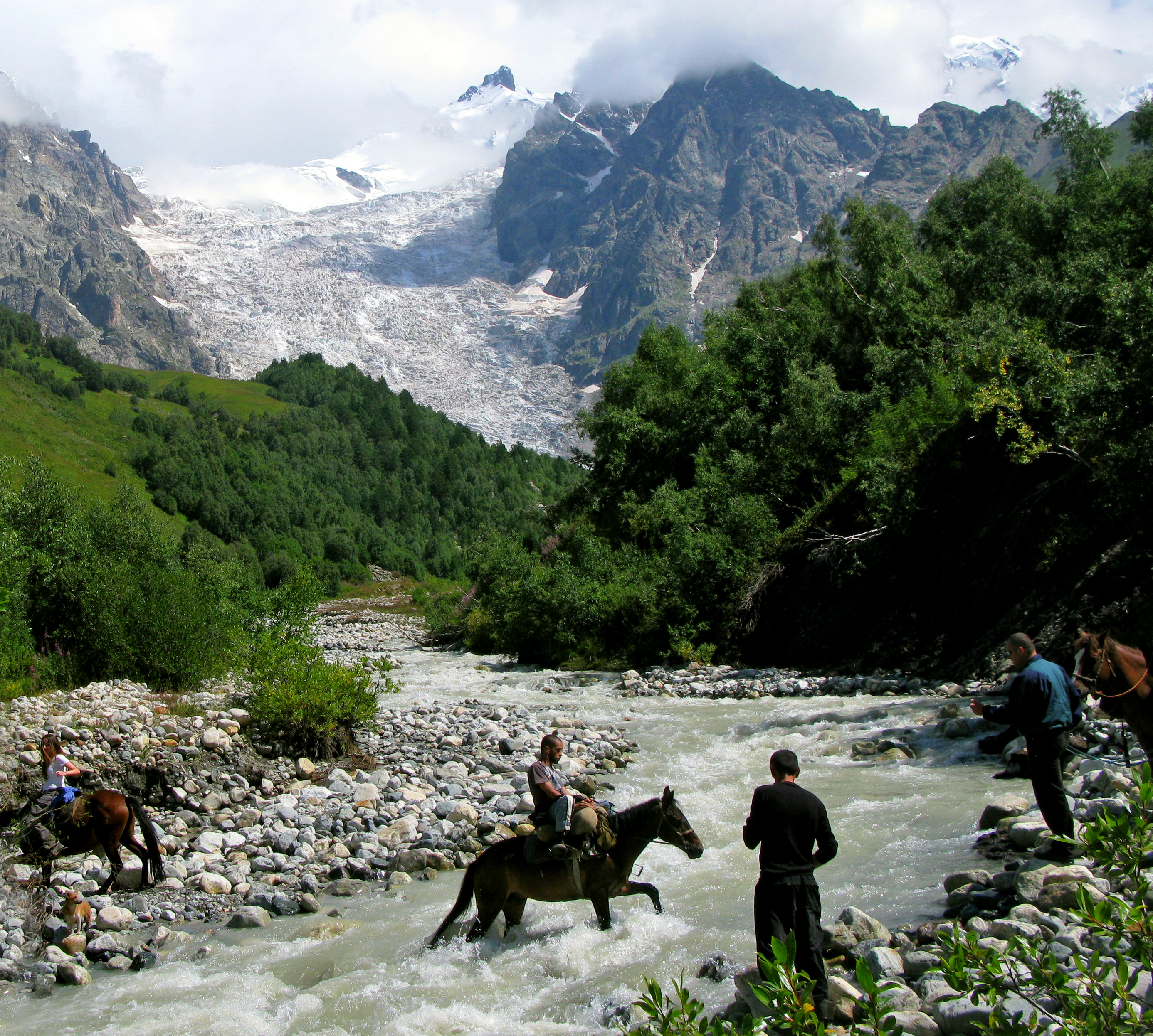
Upper Svaneti is known for its architectural treasures and picturesque landscapes. Residential towers, built mainly in the 9th-12th centuries, stand out. Ancient stone Orthodox churches have also been preserved.
Upper Svaneti was included in the list of UNESCO World Heritage Sites.
Administratively, Upper Svaneti makes up the Mestia district of the Megrelia and Upper Svaneti region with its center in the urban settlement. Mestia.
Story
After the collapse of the Georgian kingdom in the middle of the 16th century, Upper Svaneti was nominally subordinate to the Imereti king. In the western part of the valley, an independent possession of the Dadeshkelian princes was formed and it was called Princely Svaneti. In the remaining, larger part of the valley, free societies existed, and it began to be called Free Svaneti.
Both parts of the valley nominally became part of the Russian Empire (the principality in 1833, and the “free” part in 1840), but until the late 1840s, neither the Russian administration nor the Russian Orthodox Church was present in the area.
By 1859, the principality was abolished, and the region formed a separate headquarters of Svaneti as part of the Kutaisi Governor-General.
Lower Svaneti
Lower Svaneti (Georgian: ქვემო სვანეთი Kvemo-Svaneti) is a valley in the upper reaches of the Tskhenistskali River and its tributary Kheledula.
From the north, Lower Svaneti is separated by the Svaneti Range from Upper Svaneti. From the southwest, the Egris ridge separates the region from Megrelia, and the Lechkhumi ridge separates it from Lechkhumi in the south and Racha in the east.
Administratively, Lower Svaneti makes up the Lentekhi district of the Racha-Lechkhumi and Lower Svaneti region, with its center in the village of Lentekhi.
Story
After the collapse of the Georgian kingdom in the middle of the 16th century, Lower Svaneti became part of the Megrelian principality. Since 1833, the principality became part of the Russian Empire, and in 1867 it was abolished, and its territory was included in the Kutaisi province. Since 1887, the territory of Lower Svaneti became part of the Lechkhumi district of the province.


Download
Archive size 152.93 Mb, downloaded 111 times