Collection of maps from National Geographic. Part 1 (21 photos)
Разрешение картинок от 1580x4961px до 3454x4899px
A selection of historical maps and related products (diagrams, tables).
Contents of the first part:
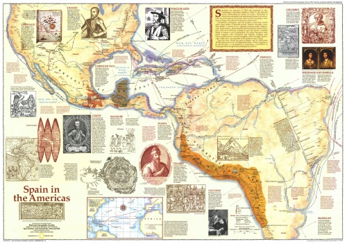
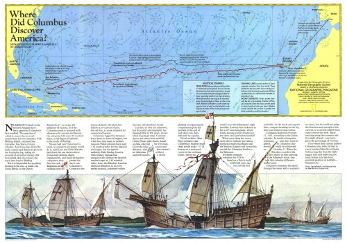
1-2. Spaniards in America. Columbus's discovery of America (NG Americas - Spain in the (1992); NG Americas - Where Did Columbus Discover America (1987));
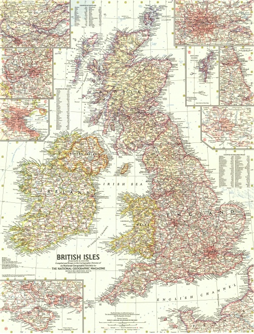
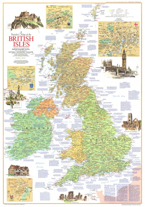
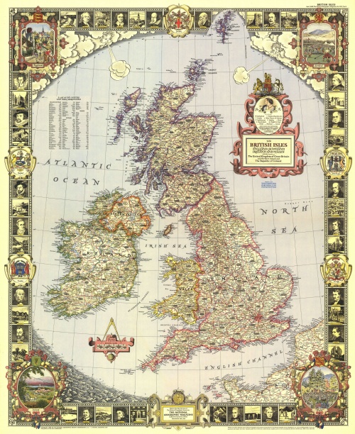
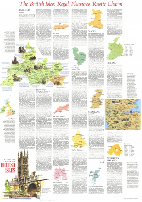
3-5. History of Great Britain (NG British Isles - A Traveler's Map 1 (1974); NG British Isles - A Traveler's Map 2 (1974); NG British Isles (1949); NG British Isles (1958));
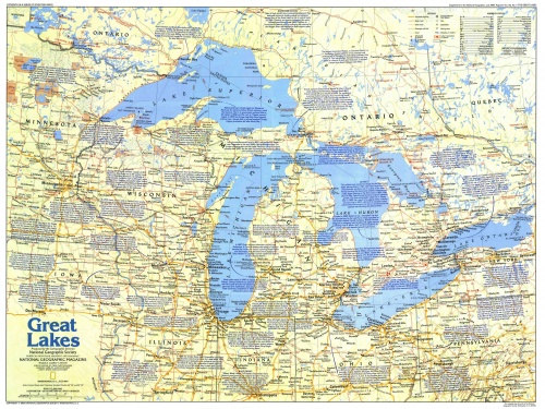
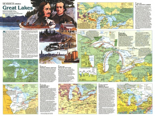
6-7. Exploring the Great Lakes (NG Canada - The Great Lakes 1 (1987);NG Canada - The Great Lakes 2 (1987))
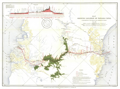
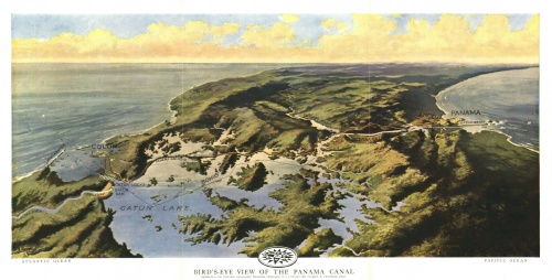
8-9. Panama Canal (NG Central America - Panama Canal (1905); NG Central America - Panama Canal (1912));
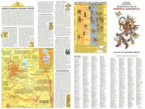
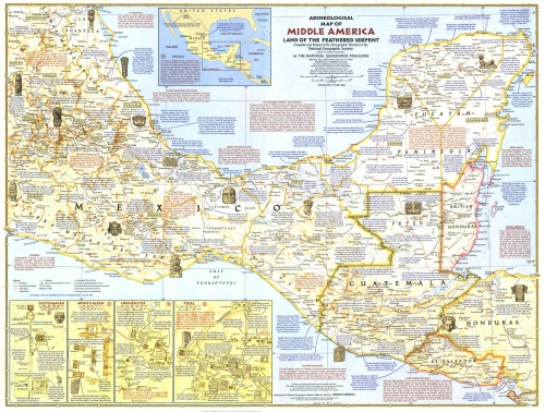
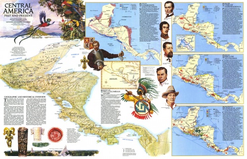
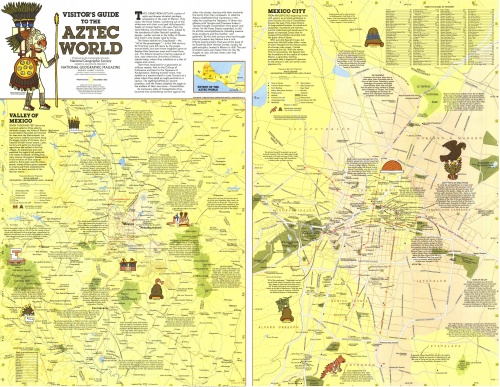
10-13. Central America: The World of the Aztecs. Capturing colonies. Archaeological cultures (NG Central America - The Aztec World (1980); NG Central America Past and Present (1986); NG Central America - Archeological Map 1 (1968); NG Central America - Archeological Map 2 (1968));
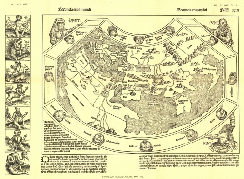
14-15. China (NG China 2 (1991); NG Chronicon Nurembergense Map (1493));
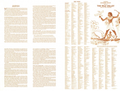
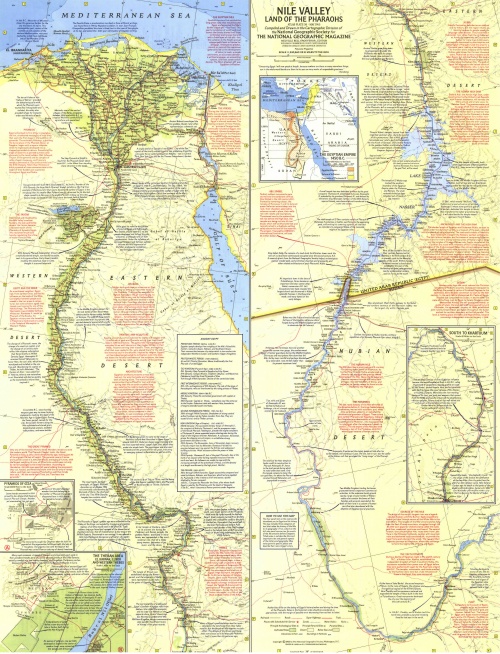
16-19. History of Egypt (NG Egypt - Nile Valley, Land of the Pharaohs (1965); NG Egypt - Your Introduction to Ancient (1965); NG Egypt's Nile Valley- The North (1995); NG Egypt's Nile Valley- The South (1995)) .
Title: Collection of maps from National Geographic
Author: National Geographic
Year: 1905-1995
Pages: 19 cards
English language
Format: Jpeg
Quality: from 1588x4961 to 4857x3426
Size: 81.6 MB
